Download
1 / 8
80 likes | 206 Views
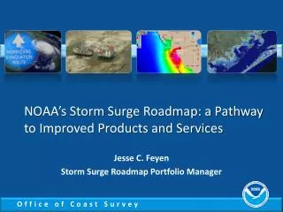
NOAA’s Storm Surge Roadmap: a Pathway to Improved Products and Services. Jesse C. Feyen Storm Surge Roadmap Portfolio Manager. The Vision. Highly accurate, relevant, and timely information. Community planning Training and education Leads to appropriate personal and community response.

E N D
NOAA’s Storm Surge Roadmap: a Pathway to Improved Products and Services Jesse C. Feyen Storm Surge Roadmap Portfolio Manager
The Vision Highly accurate, relevant, and timely information • Community planning • Training and education • Leads to appropriate personal and community response • Infuse state of the art science and technology CLEARLY COMMUNICATED which results in reductions in loss of life and ensures all communities are resilient 2
NOAA’s Coastal Flood Mission • Supports a range of time scales • Long-term coastal planning • Evacuation plans • Forecasting imminent events • Requires expertise from across NOAA • Meteorology, oceanography, geodesy, remote sensing, observing, modeling, computing, mapping & GIS, social science, outreach… National Weather Service + National Ocean Service + Office of Oceanic and Atmospheric Research
The Bottom Line Customers Ask: • Who will get flooded? How much? • When will it arrive and leave? • What will the impacts be? • How often will it occur? • How should I respond? NOAA needs to: • Determine storm water levels • Total Water Level (TWL) comes from surge + tides + waves + rivers • Model and product accuracy needs to reflect uncertainty • Describe flooding as inundation above ground • In statements and maps • Communicate actionable information • Intuitive and consistent
Improving NOAA’s Capabilities • Storm Surge Roadmap: NOAA’s plan for the future • 10 year plan to improve products and services • Shows a common direction across the agency and to partners Common Goal Bottom line: first-ever comprehensive effort to holistically address rapidly expanding problem and establish a community approach
Addressing the Goals of the Roadmap • Improving calculation of flood risk • Developing higher resolution Total Water Level models (surge + tide + waves + rivers) by enhancing SLOSH, installing ADCIRC • Developing ensembles to determine uncertainty • Tackling inundation mapping challenges • New graphics showing floods above ground level • Using social science to improve communication • Assessing public’s understanding and partner’s needs, design and test new products
Supporting the Pacific • Gather information about needs unique to this area • Coastal inundation prediction • Build partnerships • Coastal Storms Program, Sea Grant, NWS Pacific Region, CPHC, NCEP, USACE, researchers, … • Develop our common vision and the steps we can take to achieve it • Finding the right tool, determining how to implement it