Floodplain Mapping with AV-RAS: Enhancing Hydrologic Data Analysis and Visualization
This document presents the AV-RAS system developed at the University of Texas at Austin, designed for floodplain mapping using ArcView tools. AV-RAS extracts hydrologic data from digital terrain models and maps HEC-RAS results onto digital spatial data. The methodology involves utilizing digital elevation models, stream networks, and land cover data for hydrologic parameter determination and stream delineation. It also addresses limitations such as manual data entry for bridges and potential inaccuracies in TIN data, proposing solutions like LADAR for enhanced terrain representation.

Floodplain Mapping with AV-RAS: Enhancing Hydrologic Data Analysis and Visualization
E N D
Presentation Transcript
Floodplain Mapping Using AV-RAS Esteban Azagra and Francisco Olivera, Ph.D. Center for Research in Water Resources University of Texas at Austin
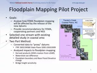
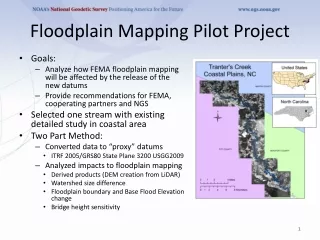
Objective • AV-RAS is a system of ArcView tools developed in Avenue -- the ArcView programming language -- that: • extracts hydrologic data from digital terrain data, and • maps the HEC-RAS results back on the digital spatial data
HEC-HMS HEC-RAS Flow discharge Water surface profiles Parameters Schematic AVRas CRWR-PrePro Geometric data ArcView Floodplain Mapping Approach
HEC-HMS HEC-RAS ArcView Digital Spatial Data • Digital spatial data required: • Digital elevation model (DEM). • Vector stream network. • Land use / land cover • Soils
HEC-HMS HEC-RAS ArcView Streams and Watersheds • CRWR-PrePro is used for: • Stream and watershed delineation. • Determination of stream and watershed hydrologic parameters.
HEC-HMS HEC-RAS ArcView HEC-HMS: Flow Determination
HEC-HMS HEC-RAS ArcView HMS-RAS Connection HMS Junctions RAS Cross-sections
HEC-HMS HEC-RAS ArcView HMS-RAS Connection HMS Hydrograph RAS Flow Data (0500, 3559.6)
HEC-HMS HEC-RAS ArcView Digital Terrain Model: TIN • Observed points and • breaklines for • constructing a • triangular irregular • network (TIN).
HEC-HMS HEC-RAS ArcView Digital Terrain Model: TIN • TIN components: • - nodes • - edges • - triangles
HEC-HMS HEC-RAS ArcView Digital Terrain Model: TIN • 3D display of a TIN.
HEC-HMS HEC-RAS ArcView Digital Terrain Model: TIN • Embedding Buildings • into the TIN.
HEC-HMS HEC-RAS ArcView Cross Sections • Stream centerline. • Banks. • Flow paths. • Cross sections.
HEC-HMS HEC-RAS ArcView Cross Sections • Bridges are not captured by the TIN: cross sections should NOT be defined at the bridges.
Hydraulic Modeling with RAS • Cross-sections extracted from the TIN. • RAS stream geometry. HEC-HMS HEC-RAS ArcView
Hydraulic Modeling with RAS • Water surface elevations. HEC-HMS HEC-RAS ArcView
Floodplain Mapping • Floodplain for 500 cfs. HEC-HMS HEC-RAS ArcView
Floodplain Mapping • 2-D floodplain animation (500 – 5,000 cfs).
Floodplain Mapping • 2-D representation of the Central Park detention pond.
Floodplain Mapping • 3-D floodplain animation.
Limitations • Bridge and culvert data has to be entered by hand.
Limitations • The accuracy obtained from TIN data might not be good enough.
Solutions • New technologies (i.e. LADAR) are improving the quality of the digital terrain representations. Source: digital representation of NYC generated by ASI and published by ESRI.
Solutions • New technologies (i.e. LADAR) are improving the quality of the digital terrain representations. Source: digital representation of NYC generated by ASI and published by ESRI.
Conclusions • Automation of floodplain delineation results in time and resource savings. • The lack of subjectivity provides standardized results. • Applications include: • Design of control structures (detention ponds, culverts, bridges, …). • Flood insurance rate determination. • Real-time flood emergency mapping. • The accuracy of the digital terrain model has to be improved. • Some field data will be still required.