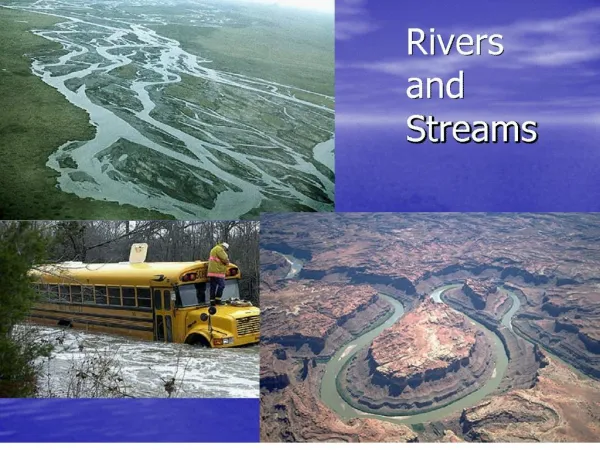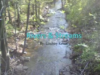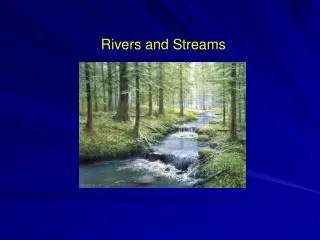
Streams and Rivers
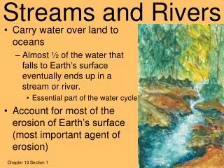
Streams and Rivers. Streams and Rivers Definitions. Tributary: A stream that runs into another stream or river River System: A river and all of its tributaries Watershed: includes all of the land that drains into the river.

Streams and Rivers
E N D
Presentation Transcript
Streams and RiversDefinitions • Tributary: A stream that runs into another stream or river • River System: A river and all of its tributaries • Watershed: includes all of the land that drains into the river
Floodplain: a nearly flat area along a stream or river that is naturally subject to flooding.
Streams and Rivers Continued • Oxbow: a bow-shaped bend in a river • Oxbow Lake: a bow-shaped lake formed in a former channel of a river.
Deltas Delta: a nearly flat plain of alluvial deposit between diverging branches of the mouth of a river, often triangular Alluvial Deposit: clay, silt or gravel carried by rushing streams and deposited where the stream slows down
Characteristics of Streams and Rivers • Meander: to take a winding or indirect course • Velocity: The distance that water travels in a given amount of time. • Gradient: The slope of a stream (vertical distance/horizontal distance)
Characteristics Continued • Discharge: the volume of water that passes a certain point in a given amount of time • Channel: The path through which the water flows. The size and shape effects the velocity- the more sources of friction the slower the river travels
Water Velocity Streams flow fastest in the middle, just below the surface The surface is slower because air provides a little friction The bottom is slower because the ground provides friction The sides are slower because the edge/shore provides friction
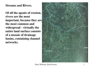
V-Shaped Valleys Most youthful river valleys are V-shaped V-shaped valleys are found in regions where there is enough rain to erode the sides of the valley
Visualizations • How Sediment is Transported • Meanderings
Erosion occurs on the outside of the bends where the water is moving the fastest • Deposition occurs on the inside of the bends where the water is moving the slowest
Erosion by Wind • When small, loose sediments like sand are available, erosion by wind is possible • Arid regions are the most common places for wind erosion to take place
Ventifacts: wedge-shaped rocks formed by wind erosion, often pitted.
Sand dunes are hills of sand deposited by wind • Found wherever there are strong winds and loose sand • Have long, gentle slope on windward side • Have shorter, steep slope on leeward side