Active GIS Education using Self-Controlled Web-Based Learning
90 likes | 129 Views
Explore the GITTA Project, a revolutionary web-based training initiative by the Institute of Cartography at ETH Zurich, transforming GIS education. Discover the benefits, structure, and examples of this innovative approach.

Active GIS Education using Self-Controlled Web-Based Learning
E N D
Presentation Transcript
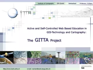
Institute of Cartography ETH Zurich Switzerland M.Werner / B.Stern Active and Self-Controlled Web Based Education in GIS-Technology and Cartography: TheGITTAProject http://www.karto.ethz.ch e-mail: werner@karto.baug.ethz.ch
Institute of Cartography ETH Zurich Switzerland Contents Web Based Training - Generally GITTA Idea GITTA Organisation GITTA Concept GITTA Realisation GITTA Examples
Learning with WBT • different way of conveying learning matter • spatial & temporal barrier expires • enables an individual scheduling of the day • avoids teaching of redundant content • allows easier & cheaper learning experience • posts new demands onto the instructor 1840 Distance- learning Production Requirements of WBT 1960 Learning with Computers 1990 Internet- technologies • a didactical design • special text writing style for e-learning • platform- & graphic design of the face • programming • close collaboration & WebBased Training social competence of all colleagues Institute of Cartography ETH Zurich Switzerland
Idea • Supplement & partial substitution of the actual GIS • education by internet based learning modules • Cooperate realisation together with 11 partners • Modular organisation with 3 levels • Flexibility • Multimedia dedication with an • obvious surplus value, instead of • conventional teaching methods • The students get the possibility • to discover GIS concepts • interactively on their own Institute of Cartography ETH Zurich Switzerland
Assignment of the Institute of Cartography Institute of Cartography ETH Zurich Switzerland Organisation GITTA is built up by 6 modules: Case Study Database Systems Data Presentation Spatial Modeling Spatial Analysis Data Capture GI Systems Advanced Intermediate Basic
Content summary of a field of knowledge Deals with a subject matter Deals with a subchapter Conversion of the didactic considerations in an XML-structure Why XML? • Form and content stays apart • Generation of various data formats ( HTML, PDF, RTF, ...) • Independence in choice of an e-learning platform • Predefined Structure ( *.dtd) - all GITTA partners work on the same basis Institute of Cartography ETH Zurich Switzerland Concept • Didactical concept based on the ECLASSS teaching structure
Gathering cartographic data ( texts, workflows, maps, examples,...) • Allocating the content to the lessons • Subdividing the information to the units • Writing content for e-learning, adapted to the ECLASSS structure • Making illustrations, images, animations & interactions available • Implementing content into XML structure • Evaluating • Updating • Generally: designing and arranging the interface Institute of Cartography ETH Zurich Switzerland Realisation The Institute of Cartography addresses itself to the following tasks:
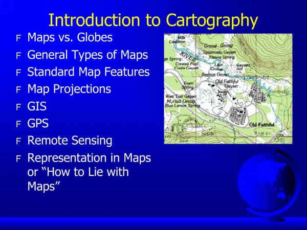
Institute of Cartography ETH Zurich Switzerland Examples ... ... taken from the basic level of the 'Data Presentation' module: 1. Presentation and Visualisation Needs Demand for Maps Specially Ordered Maps Legal Order Maps Visualisation of Spatial Data Map Types 2. Layout Design Settings / Graphical Semiology Map Size and Scale Definition and Organisation of Map Elements Typographic Design Colour Design Readability Rules 4. Generalisation of Map Data Generalisation Concepts Generalisation Procedures Generalisation Methods 3. 5. Cartographic Data Representation Map Conception Map User Needs Topographic Cartography Notion and Intentions Content of Topographic Maps
Institute of Cartography ETH Zurich Switzerland Many Thanks for Your Attention ! Contact address: Marion Werner & Boris Stern Institute of Cartography Swiss Federal Institute of Technology ETH Hoenggerberg CH-8093 Zurich, Switzerland phone: + 41-1-633 30 33 fax: + 41-1-633 11 53 werner@karto.baug.ethz.ch & stern@karto.baug.ethz.ch http://www.karto.ethz.ch