Download
1 / 25
250 likes | 265 Views
Learn about the planned cities along the Indus River and the impact of Indo-European migrations on India's culture and society.

E N D
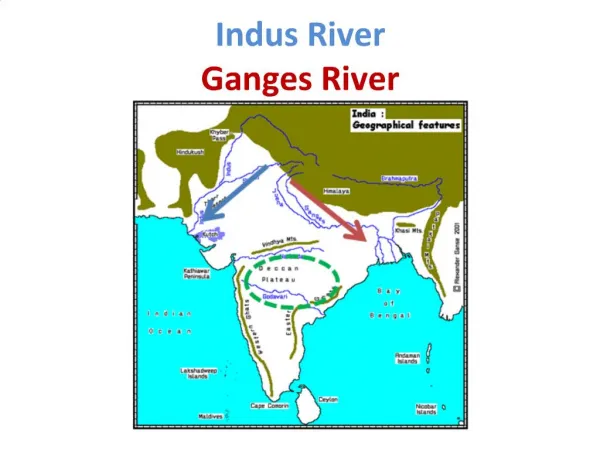
HOT AIR WINTER MONSOON Sept. - March *Khyber Pass Himalayas *Indus River Harappa Mohenjo-Daro Arabian Sea Bay of Bengal COOL AIR SUMMER MONSOON May-Sept. Indian Ocean
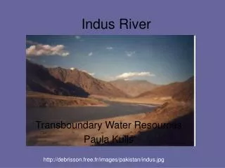
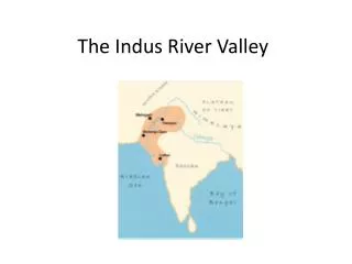
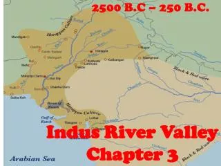
Rivers • The two rivers and the lands they water make up a large area that stretches 1,500 miles across northern India. • Indus River - west • Ganges River - east
Mountains • *Wall of Mountains surround India • Hindu Kush Mts. • Karakoram Mts. • Himalaya Mts. • Separate the land mass of India from the rest of Asia. • Sub-continent • Allowed for India to develop a culture *Aryans found a route into India via the mountains
*Monsoons • Seasonal winds dominate India’s climate. • Winter Monsoons • Dry air across country from mountains to lands • Summer Monsoons • Moisture carries rains from seas to the land • *Brings in rain to water the crops.
Winter Monsoon Summer Monsoon
Environmental Challenges • Indus River flows: Himalayas to Arabian Sea • Problem: Irregular Flooding • River changes course unpredictable.
Earliest Arrivals • Unknown origins of earliest inhabitants • Primarily herders • Sheep • Goats • Began farming about 3200 B.C. along the Indus
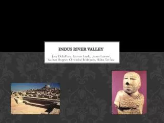
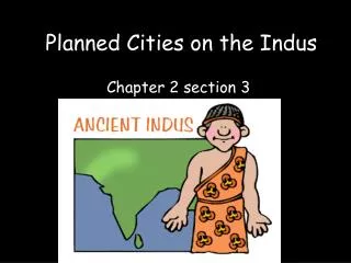
Planned Cities • 100 settlements along the Indus Rv. • Mohenjo-Daro • Harappa • Advanced city planning. • Grid system • Fortified areas • Advanced technology • Advanced plumbing • Sewage systems *Shows that Indus valley had organized govt.
Harappa and Mohenjo Daro • Population about 35,000 • Streets were laid out in grid patterns – right angles • Each city had a water system, public baths and a sewer system • Water well throughout the city and in some private homes
Mohenjo - Daro • Cities were planned - laid out in a grid • Houses were built from *uniform brick • *Plumbing systems.
Harappa • *Cities were run by a well-organized government • Types of job • Farmers – Merchants - Traders
Advances in Technology • Private baths • Private dressing rooms • Private toilets • Pools • Sewage systems
Mohenjo Dara/Harappa Video • http://www.youtube.com/watch?v=RAyK2AXTAeA&feature=my_liked_videos&list=LLuc_W0uf7Sjq0RKO9PFXmUQ&safety_mode=true&persist_safety_mode=1&safe=active
Chapter 3 Section 1 Indo – European Migrations pp. 57 - 61
Aryan Invaders Transform India • Around 1500BC, nomads moved into India. Aryans conquered locals and merged their cultures. • Settled in river valleys (conquering tribes came through Khyber pass) • Aryans became farmers • Created and used iron plow, irrigation systems • Crops – wheat, barley, rice, millet, vegetables, cotton and a variety of spices • Developed writing system - Sanskrit
Aryan Caste System • *Divided people by occupation • Priest (Mouth) • Rulers & Warrior (Arms) • Peasants & Traders (Legs) • Laborers (Feet) • *Lack of Social Mobility