Download
1 / 18
580 likes | 1.23k Views
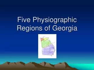
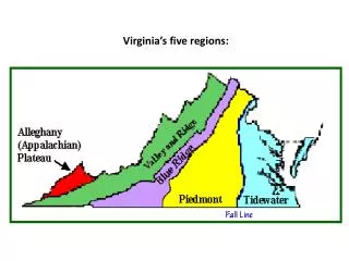
The Five Land Regions of Alabama. Alabama History book page 5. Highland Rim and Cumberland Plateau. Location- along the Tennessee River Description- Highland Rim has level plains of fertile soil and gently rolling hills. The Cumberland Plateau has steep canyons p6. Ridge and Valley.

E N D
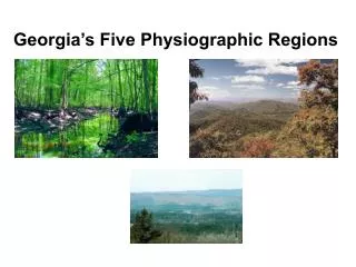
The Five Land Regions of Alabama Alabama History book page 5
Highland Rim and Cumberland Plateau • Location- along the Tennessee River • Description- Highland Rim has level plains of fertile soil and gently rolling hills. The Cumberland Plateau has steep canyons p6
Ridge and Valley • Location- below the Cumberland Plateau, includes Birmingham and Red Mountain • Description- very hilly, has iron ore, coal, and limestone that was caused by erosion • Page 7
The Piedmont Area • Location- East of Birmingham (our region) Piedmont means ‘foot of the mountains’ in French • Description- highest point is Mount Cheaha • Page 8
The Coastal Plain • Location- Below the Piedmont, the border between the two is the Fall Line. • Description- makes up more than half of the state • Page 8
Upper Coastal Plain • Description- rich, dark soil known as the Black Belt. Created by the ocean that once covered this region • One of the best places in the state to grow cotton • Page 8
Lower Coastal Plain • Description- reaches from the Black Belt to the Gulf of Mexico • Longleaf pines cover this part of the state. Timber is the main crop. • Page 9
The Gulf Coast • Location- Southern tip of the state • Description- fifty miles of coastline, marshes, bays, and barrier islands. • Page 10
Why is the landscape always changing on the gulf? • Tides • Winds • Hurricanes • Storms • Page 10