Download
1 / 25
250 likes | 384 Views
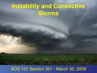
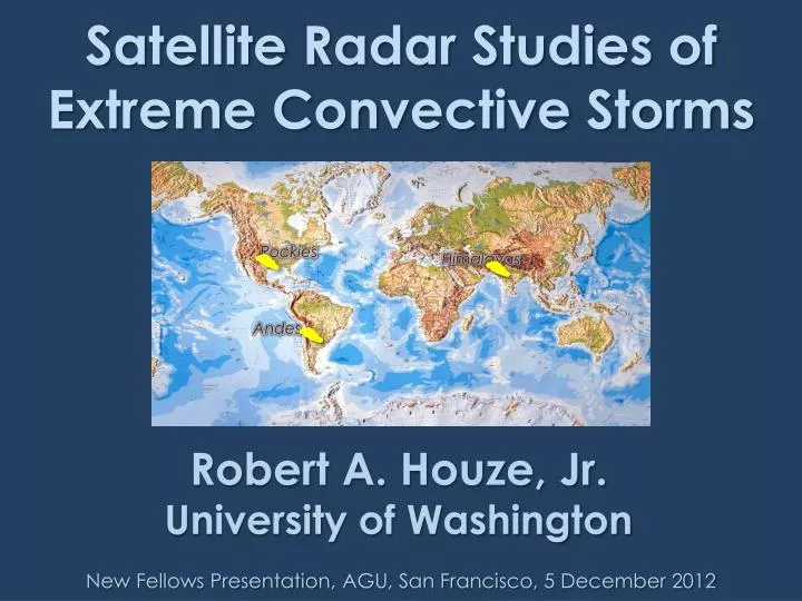
Satellite Radar Studies of Extreme Convective Storms. Rockies. Himalayas. ?. Andes. Robert A. Houze, Jr. University of Washington. New Fellows Presentation, AGU, San Francisco, 5 December 2012. Radars in Space. TRMM 1997-. CloudSat 2006-.

E N D
Satellite Radar Studies of Extreme Convective Storms Rockies Himalayas ? Andes Robert A. Houze, Jr. University of Washington New Fellows Presentation, AGU, San Francisco, 5 December 2012
Radars in Space TRMM 1997- CloudSat 2006-
Typical Tropical Convective Cloud Population TRMM CloudSat 2 cm wavelength 3 mm wavelength
Locations of the deepest and most intense convective cores seen by TRMM over ~14 years in South Asia and South America warm seasons JJAS DJF Romatschke et al. 2010 Romatschke and Houze 2010 Near the large mountain ranges
Relationship to Mountain Ranges and Moisture Sources Rockies Himalayas ? Andes How similar are the storms in these three regimes?
dry,hot moist Carlson et al. 1983 MexicanPlateau Texas Gulf of Mexico
Something similar happens to extreme convective cores in the western region of South Asia
TRMM PR Observations WRF Simulation Medina et al. 2010
Backward trajectories (HYSPLIT/NCEP) 2.5 km 1.0 km Consistent with Sawyer 1947 Consistent with Sawyer 1947 Consistent with Sawyer 1947 Medina et al. 2010
WRF Model Simulation Mixing ratio CAPE Surface wind Medina et al. 2010
WRF Simulation Cloud just after convection formed in the model Triggering is over foothills—consistent with satellite data Medina et al. 2010
Convective Regimes in South America Identified by TRMM Romatschke and Houze 2010
Example of triggering over the Sierra Cordóba range Rasmussen & Houze 2011
What the storm looked like on the TRMM radar Rasmussen and Houze 2011
Vertical air motions COMPOSITEof average conditions for storms with intense convection seen by the TRMM radar down up Low-level winds moist unstable Rasmussen and Houze 2011
Recap LARGE MOUNTAIN RANGES NEAR WARM MOIST ZONES • SIMILARITIES • Channeling of moisture • Downwind capping • Explosive triggering Rockies Himalayas ? Andes • DIFFERENCES • Capping may be downslope from a plateau or response to flow over a ridge • Triggering may be meteorological or orographic
Similar studies • Pakistan flood cases • Convection in the Madden-Julian Oscillation • Storm systems over land and ocean • Other…
GPM The future CloudSat EarthCare Rockies Himalayas ? • Next generation: • Radars need to be in the same orbit! TRMM Andes This research was supported by NASA grants NNX10AH70G, NNX10AM28G, and NSF grant AGS1144105
End Rockies Himalayas ? Andes This research was supported by NASA grants NNX10AH70G, NNX10AM28G, and NSF grant AGS1144105
End Rockies Himalayas ? Andes This research was supported by NASA grants NNX10AH70G, NNX10AM28G, and NSF grant AGS1144105
Global Pattern of Deep Convection seen by TRMM Maximum height of TRMM’s most intense radar echoes Zipser et al. 2006