Wind Channeling in St. Lawrence River Valley: Synoptic Patterns & Local Conditions
150 likes | 247 Views
Explore wind patterns and conditions in the St. Lawrence River Valley, based on historical data and regional reanalysis. Understand the relationship between geostrophic winds and surface winds for operational forecasting purposes.

Wind Channeling in St. Lawrence River Valley: Synoptic Patterns & Local Conditions
E N D
Presentation Transcript
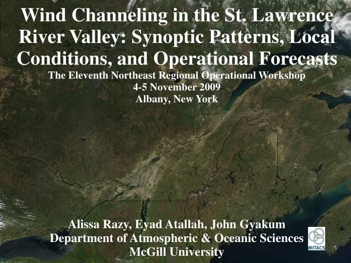
Wind Channeling in the St. Lawrence River Valley: Synoptic Patterns, Local Conditions, and Operational Forecasts The Eleventh Northeast Regional Operational Workshop 4-5 November 2009 Albany, New York Alissa Razy, Eyad Atallah, John Gyakum Department of Atmospheric & Oceanic Sciences McGill University
Data • hourly surface data (winds) recorded at YUL • North American Regional Reanalysis (NARR) dataset • developed by the National Centers for Environmental Prediction (NCEP) • 32 km horizontal resolution • 45 vertical layers • analyses performed every 3 hours
Observed Wind & Geostrophic Wind
{ Pairing a { Pairing b
Pairing a (northeasterly surface winds) n = 210 Pairing bspeed - Pairing aspeed = 5.3 knots Pairing b (southeasterly surface winds) n = 207
Difference Fields: Pairing b (SE) - Pairing a (NE) MSLP (contours) & 1000-500mb thickness (shading)
Pairing a: NE sfc winds (red) & Pairing b: SE sfc winds (blue) stability = ϴ925 – ϴ1000 Pairing bstab - Pairing astab = -2.6 K
{ Pairing d { Pairing c
Pairing c (northeasterly surface winds) n = 52 Pairing d (southeasterly surface winds) n = 192
Difference Fields: Pairing d (SE) - Pairing c (NE) MSLP (contours) & 1000-500mb thickness (shading)
Pairing c: NE sfc winds (red) & Pairing d: SE sfc winds (blue) stability = ϴ925 – ϴ1000 Pairing dstab - Pairing cstab = -2.5 K
Summary south-southeasterly to south-southwesterly geostrophic winds • northeasterly surface winds • low/high couplet • weaker gradients • weaker upper-level pattern • stronger stability • warm air advection • southeasterly surface winds • low/high couplet • tighter gradients • more saturated • stronger upper-level pattern • larger amplitudes • smaller wavelengths • lower stability • less suppressed mixing
