Download
1 / 21
210 likes | 302 Views
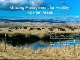
The Riparian Area Management Plan. Authors: Gene Surber, MSU Extension Natural Resources Specialist Bob Ehrhart, Research Specialist, RWRP, Univ. of Montana. Introduction. Ranchers – “do-ers” Planning – systematic way of thinking Work smarter, not harder. Questions / Steps.

E N D
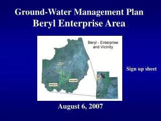
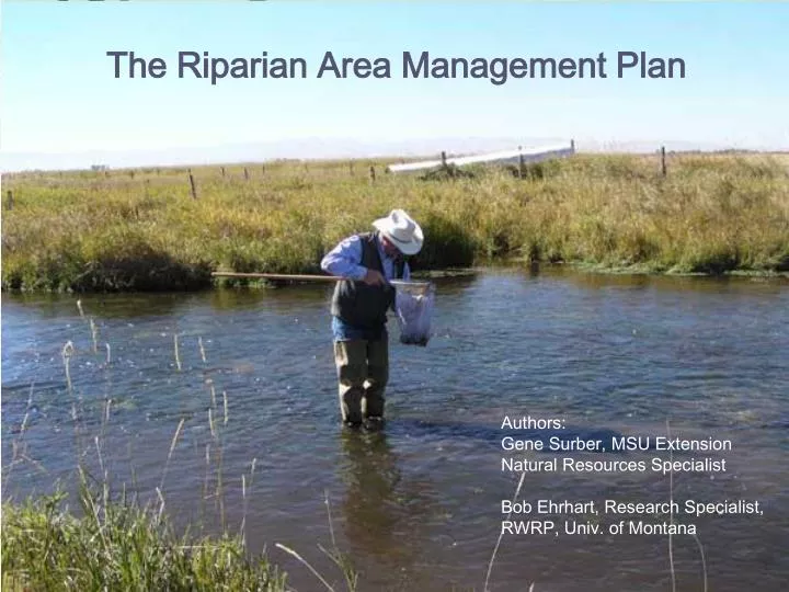
The Riparian Area Management Plan Authors: Gene Surber, MSU Extension Natural Resources Specialist Bob Ehrhart, Research Specialist, RWRP, Univ. of Montana
Introduction • Ranchers – “do-ers” • Planning – systematic way of thinking • Work smarter, not harder
Questions / Steps • Where do we want to be • Set goals • Where are we now? • Inventory resources • How are we going to get there? • Identify & implement strategies • How will we know we’re moving? • Monitor the resources for desired change
Step 1: set goals • Provide purpose and focus • Specific goals • Long-term & Short-term
Goals should be SMART • S – specific • M – measurable • A – attainable • R – related • T – tractable
Step 2: Inventory resources • Where are you now? • Inventory • Conditions of riparian area • Resources you have / don’t have
Step 2: Inventory resources • Inventory (assessment) methods • One method = “Stream channel & riparian monitoring guide” • Basic method • Can be used with little training
Step 2: Inventory resources • Labor • Money • Expertise • Equipment • Time
Step 3: Decide & Implement • What – actions to take • Where – the actions will occur • When – the actions will happen • How – the actions will be done • What – the actions will achieve
Step 4: Monitor the impacts • Use the assessment guides for monitoring, as well • Photo-monitoring • Many assessments taken over time
Step 4: Monitor the impacts • Why? • Why are you monitoring? • What? • What are you monitoring?
Step 4: Monitor the impacts • Where? • How many sites? • 3 sites • Depends upon size of pasture • Depends upon different types of riparian areas • Accessibility • Time
Step 4: Monitor the impacts • When? • Time of year • Regular basis – trends over time • Same sites, same time each year
Photo-monitoring • Compares past with present • Record physical & biological changes • What am I trying to show? • How can I best “capture” it? • Is location appropriate now & in time?
Determining photo locations • Shrubs block your view in 5 to 10 years • Anticipate floods • Same site from different directions
Permanent locations • Use markers • GPS readings (or compass bearings)
Landscape view • Use “photo placard” • Date • Location • Time of day • Direction of shot • Vertical point • (notch in hill, rock outcropping)
Close-up view • 3 ft. x 3 ft. square • Stand on north side • Metal fence post or steel pole (100 ft away)
Recording information • Location on map • Compass bearing • Allotment and/or pasture name • Date, type of film, camera lens size • Information explaining each photograph
Storing the information • Notebook • Slides: non-pvc, non-acidic sheets • CD or DVD of digital photos
Limitations – photo monitoring • Quantifiable data may be missed • Small notebook • PDA or Palm Pilot • Micro-cassette