Download
1 / 18
180 likes | 196 Views
This article discusses the integration of state monitoring efforts in Iowa into the Coastal Network, focusing on the Upper Mississippi Watershed. It explores the challenges and priorities of state monitoring, as well as the coordination and resource needs for effective implementation. The article also highlights the importance of including smaller streams and tributaries in monitoring efforts.

E N D
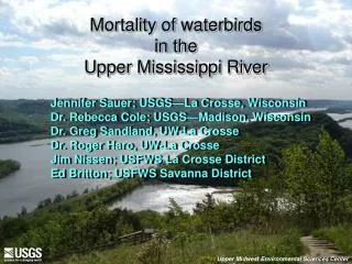
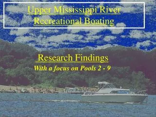
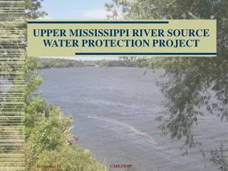
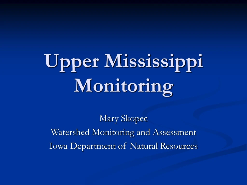
Upper Mississippi Monitoring Mary Skopec Watershed Monitoring and Assessment Iowa Department of Natural Resources
Coastal Waters; Iowa? “We are pretty sure that the last ocean transgressed partway into western Iowa very early in the Tertiary. This would have been what we call the Cannonball Sea (deposited the rocks of the Cannonball Formation of the Dakotas), about 60 million years ago. Rocks deposited by this transgression have been eroded from Iowa. The last sea advance that deposited rocks that are still here in Iowa was the Niobrara Sea that moved into western Iowa late in the Cretaceous, about 84 million years ago. Since then, only seas of ice.” Raymond Anderson, Iowa Geological Survey
Integrating State Monitoring into Coastal Network • Background – Iowa Monitoring • Past Efforts: Gulf of Mexico Hypoxia • How Might Current (or Future) State Monitoring Fit into the Network • Challenges with Integrating States • Priorities? State vs. National
Ambient Monitoring in Iowa • Prior to 1999 Iowa virtually had no ambient monitoring (16 stream sites monitored monthly) • New $$ in 1999 for monitoring • Stakeholders and Technical Committees determine priorities • “Big” Rivers (Mississippi/Missouri) considered a lesser priority than interior streams • Begin monthly stream sampling at 62 sites
The Mississippi River/Gulf of Mexico Nutrient Task Force formed 1997 Goals: Determine Causes and Effects Of Hypoxia Coordinate Activities to Reduce the Size And Severity of the Hypoxic Zone Monitoring, Modeling, Research Workshop Held in St. Louis, MO October 16-18, 2002 http://pubs.usgs.gov/circ/2004/1270/
MMR Basin Monitoring Priorities • Adopt a four-level watershed monitoring system based on varying spatial scales; led by different levels of government • Supplement existing monitoring efforts including monitoring on smaller rivers and streams to enable understanding of nutrient transport mechanisms • Coordinate monitoring and reporting through leadership at the federal level. • USGS and EPA should take leading roles in providing assistance to states and local groups to monitor the water quality
MMR Coordination Needs • Maintain coordination at the highest level • Include all entities directly involved or indirectly involved with the Basin or Gulf • Coordination includes: • Monitoring activities • Modeling activities • Social and Economic Considerations
MMR Resource Needs • New resources to plan, design, and implement monitoring, modeling and restoration • Establish minimal monitoring, modeling and research activities • Identify coordination and development of practical synergies among ongoing activities as a priority for new resources so as to avoid duplication of effort and maximize utility of existing programs • Develop a detailed implementation plan
Short Term Action #2 • “By Summer 2001, states and tribes in the Basin, in consultation with the Task Force will establish sub-basin committees to coordinate implementation of the Action Plan by major sub-basins including coordination among smaller watersheds, tribes, and states in each of the sub-basins.” The Action Plan, p.13
Analytes include: Field parameters, Nutrients, Algal Pigments, Major Ions, Pesticides; Co-located with USGS Gage Stations Sampled Monthly Plus Events
Challenges • Coordination and Priority setting in a moving target-type environment • Can’t forget the intrinsic value of the tributary streams • Data to fit state/local needs as well as national needs?
Questions? Mary.Skopec@dnr.state.ia.us