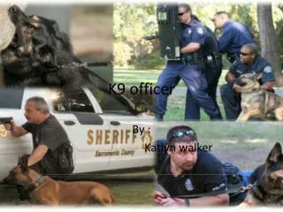
K9 Officer
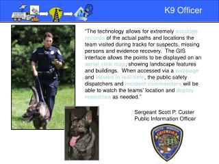
The innovative use of GIS technology allows K9 teams to maintain exceptionally accurate records of their tracking paths, crucial for suspect searches, missing persons cases, and evidence recovery. The GIS interface presents these tracking points on an aerial map, detailing the landscape and surrounding buildings. By accessing this information through a web interface, public safety dispatchers and incident commanders can monitor the K9 teams' real-time locations, effectively coordinating resource deployment as necessary.

K9 Officer
E N D
Presentation Transcript
K9 Officer “The technology allows for extremely accurate records of the actual paths and locations the team visited during tracks for suspects, missing persons and evidence recovery. The GIS interface allows the points to be displayed on an aerial view map, showing landscape features and buildings. When accessed via a webpage and viewed in real-time, the public safety dispatchers and incident commanders will be able to watch the teams’ location and deploy resources as needed.” Sergeant Scott P. Custer Public Information Officer