Download
1 / 31
310 likes | 358 Views
Explore Surdex Corporation’s cutting-edge LiDAR technology for precise contour mapping, digital orthophotography, and topographic solutions. Our state-of-the-art equipment and expertise ensure accurate deliverables for various sectors.

E N D
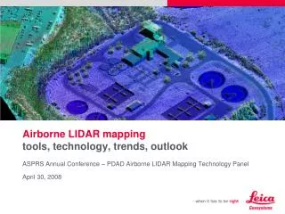
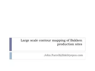
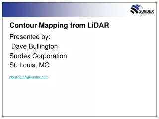
Contour Mapping from LiDAR Presented by: Dave Bullington Surdex Corporation St. Louis, MO dbullington@surdex.com
Surdex Corporation • Surdex headquartered in St. Louis, MO area • Over a half-century of photogrammetric mapping • ~100 employees • 8 aircraft – 4 Cessna 441 (Conquest) Turbine Aircraft • 3 Intergraph Digital Mapping Cameras (DMC) • 1 Microsoft Vexcel UltraCam XP Wide Angle • 5 film cameras • Leica ALS50 II LiDAR Sensor • Very progressive R&D • Large amount of proprietary algorithms and software • Focus on cost-efficiency and performance
Surdex’s Client Base • Federal Government USACE,USDA, DNR, USGS, FEMA, EPA • State Government Statewide Programs, DOT’s, SEMA • Local Government County, City, RPC’s • Private Sector Civil Engineering, Real Estate, Development, Mining, Oil & Gas
Deliverables • Digital Orthophotography (4 Band) • LiDAR • Planimetric Mapping • Topographic Mapping • Ground Control Survey • GIS Services
LASERMeasurements (Range, Angle, Time) LiDAR Processing GPS DataReduction GC Check Position Attitude GPS/IMU Processing IMU X,Y,Z Point Cloud Classification AUTOMATIC Classified Points (Bare-earth, veg/building) 2D Edit LASER Intensity, RGBOrtho Photos MANUAL TIN Stereo QC / Edit DataThinning Stereo Images TIN Break-lines DTM Surface
LiDAR Data • First, middle, last return • Position (X,Y) • Elevation (Z) • Intensity • Products • Intensity Image • Digital Surface Model • Digital Terrain Model • Classification • Contours
First Returns Second Returns Third Returns Last Returns All Returns
Bare Earth DEM Calculations • Identify man made structures • Determine ground elevation at edges • 2. Identify vegetated areas • Search for ground points within area • 3. Identify open areas • 4. Interpolate between available points • 5. Filtering and clean-up First Return DEM
Automatically extracted Bare Earth DEM • Ground surface with vegetation and man-made structures removed • Critical for terrain and hydrology modeling Bare Earth DEM
Raw vs. Edited LiDAR Contours Contours from raw LiDAR data Contours from raw LiDAR data with photogrammetric edits
Types of LiDAR DTM & Contours • Level I • Classified to Bare earth only, automated • Level II • Classified to bare earth • Automated, minimal cartographic edits • Level III • Classified to bare earth • Break-lines added to hydrology • Similar cartographic edits of Level II
Types of LiDAR DTM & Contours • Level IV • Level III plus: • Stereo Compiled Breaklines • Planimetric Features (optional)
Level 1-2 Surface Level 3 Surface