USGS Digital Aerial Mapping Camera Status
190 likes | 356 Views
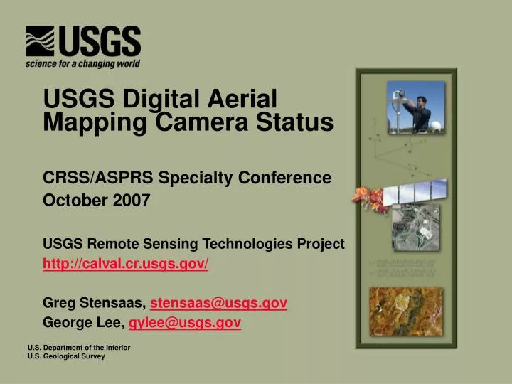
USGS Digital Aerial Mapping Camera Status. CRSS/ASPRS Specialty Conference October 2007 USGS Remote Sensing Technologies Project http://calval.cr.usgs.gov/ Greg Stensaas, stensaas@usgs.gov George Lee, gylee@usgs.gov. Outline. Background USGS Quality Assurance Plan

USGS Digital Aerial Mapping Camera Status
E N D
Presentation Transcript
USGS Digital Aerial Mapping Camera Status CRSS/ASPRS Specialty Conference October 2007 USGS Remote Sensing Technologies Project http://calval.cr.usgs.gov/ Greg Stensaas, stensaas@usgs.gov George Lee, gylee@usgs.gov
Outline • Background • USGS Quality Assurance Plan • Description and status of components • Related development activities
Background • Evolution: • New digital sensors available to the industry • Requirement for USGS Camera Calibration Certificate • ASPRS study and recommendations • Establishment of Digital Camera Calibration at EROS
Background • Evolution: • Formation of the JACIE and activities to verify and validate merging commercial satellite data • Establishment of Remote Sensing Technologies Project to oversee aerial and satellite V&V activities
Background • Formation of the Interagency Digital Imagery Working Group (IADIWG): • Initially NDOP Technical Subcommittee supplemented by other stakeholder agencies • IADIWG proposes a Quality Plan which is beyond sensor calibration • IADIWG hosts a user workshop and reacts to initial MAPPS concerns
Background • Ways to perform evaluation of sensors, systems and data products: • Sensor calibration in lab environment • Error analysis of components of system • In-situ system performance of system • Product characterization over test site • ISO-like certification: Process evaluation • Define best practices and standardize across community
USGS Quality Assurance Plan • USGS (IADIWG) Quality Assurance Plan: • Manufacturer Certification • Data Provider Certification • Contracting Guidelines • Quality Assessment Guidelines
USGS Quality Assurance Plan • Underlying implementation strategy: • Define general approach for each component • Initial trials with “Partners” • Review and refine process • Standard operating procedure
Manufacturers Certification • Type certification vs. individual calibration • Basic requirement to understand: • Prototype testing and results • Standard production testing • Calibration process • Manufacturing process control • Maintenance procedures, factory vs. on-site • User documentation and recommendations to data providers • Simplified re-certification process • Need to extend concept beyond United States
Manufacturers Certification Status • Four Manufacturer Certifications completed • Applanix DSS, Microsoft UltraCam D, Intergraph DMC, and Leica ADS-40 • Several requests for upgrade certification • Applanix and Microsoft • Certification interest by others • DiMAC, Jenoptik, Airborne Data Systems, John Deere, Wehrli, and Pictometry • Review process and finalize guidelines • Four additional manufacturers in FY 08
Data Provider Certification • Basically a review of process control and documentation of procedures • Ensures manufacturers recommendations are followed • If not, why not • Vendor’s standard operating procedures • Exercises “best practices” throughout operations
Data Provider Certification Status • Data Provider Certification Team formed: • Scope and level of detail for certification of process evaluation • Define evaluation criteria and grading scheme • Five “Partners” identified to test process • Acceptance by major contracting offices • Avoid limiting competition • Cost of certification to be determined • Ability to quickly certify all interested parties
Protection of Intellectual Property • For both Manufacturers and Data Providers • Signing of Non-disclosure Agreements • Documents must be appropriately marked as IP • Public version of certification report after review by Manufacturers and Data Providers
Contracting Guidelines • “Products, Specs, and Contracting 101” • Tough for new users • Can be tough for Data Providers in beginning • Standardize language and terminology for specifying products • Adequate QA/QC methods are specified • Guidelines for selection of qualified vendors (e.g., experience, past performance, and best practices) • Best practices to ensure clear understanding of contract requirements (e.g., Pre-meeting and sample product delivery)
Contracting Guidelines Status • Initial draft compiled and reviewed • Web tools are being developed & refined • Training workshops at ASPRS and other forums
Quality Assessment Guidelines • Is beauty in the eyes of the beholder? • Yes, but it must be in specifications • Needs to be clear understanding of acceptance and rejection criteria • QA/QC must to be objective and uniform • Statistically valid if sampling is used • Formal documentation and record keeping • Industry standards for automated quality control
Quality Assessment Guidelines Status • Quality Assessment Team formed: • Exchange of information on existing processes within federal government • Identification and review of state procedures • Draft quality assessment document • Both general and product specific levels of detail
USGS Quality Assurance Plan • Other activities: • Establish network of in-situ ranges • Research on medium format cameras in lab • Research on sensor stability • Workshops at ASPRS and other forums • Discussion with international organizations
Questions? • Gregory L. Stensaas Remote Sensing Systems Characterization Manager 605-594-2569 stensaas@usgs.gov • George Lee National Digital Orthophoto Program Manager 650-329-4255 gylee@usgs.gov • USGS and Inter-Agency Digital Imagery Working Group (IADIWG) information available at: http://calval.cr.usgs.gov/