Download
1 / 11
110 likes | 128 Views
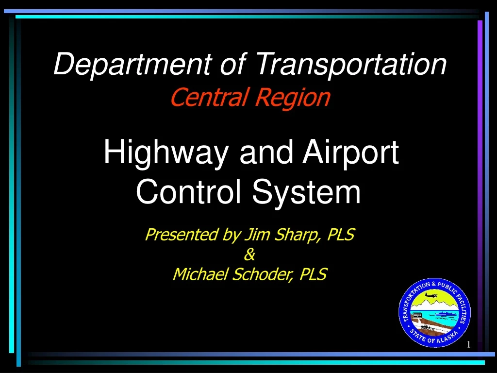
Learn about the shift to CORS-based control system in DOT Central Region while retaining ground-based local system for projects. Files and information provided by Jim Sharp, PLS & Michael Schoder, PLS.

E N D
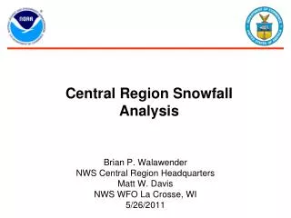
Department of TransportationCentral RegionHighway and AirportControl SystemPresented by Jim Sharp, PLS&Michael Schoder, PLS
Central Region Boundary Airports: 262 Statewide 108 Central Region
DOT is moving to aCORS-Based Coordinate Systemfor Controlwhile maintaininga Ground basedLocal Coordinate Systemfor Projects