The Tropical Cyclone Observations-Based Structure Database (TC-OBS)
430 likes | 446 Views
Explore TC-OBS dataset with 273 cyclones from 1999-2015 in user-friendly format, offering improved wind risk modeling and real event simulations.

The Tropical Cyclone Observations-Based Structure Database (TC-OBS)
E N D
Presentation Transcript
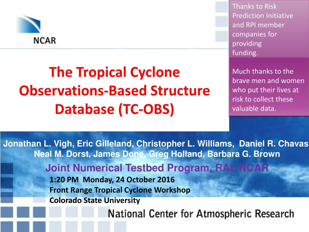
Thanks to Risk Prediction Initiative and RPI member companies for providing funding. Much thanks to the brave men and women who put their lives at risk to collect these valuable data. The Tropical Cyclone Observations-Based Structure Database (TC-OBS) Jonathan L. Vigh, Eric Gilleland, Christopher L. Williams, Daniel R. Chavas, Neal M. Dorst, James Done, Greg Holland, Barbara G. Brown Joint Numerical Testbed Program, RAL/NCAR 1:20 PM Monday, 24 October 2016 Front Range Tropical Cyclone Workshop Colorado State University
Extended Flight Level Dataset for Tropical Cyclones (FLIGHT+, v1.1) • Dataset coverage • 273 cyclones • Atlantic, Eastern Pacific, Central Pacific, Western Pacific • 1999 to 2015 • 7500 “good” radial legs • All typical flight level parameters included • SFMR surface winds • Dataset characteristics • Standardized data from U.S. Air Force Reserve and NOAA Hurricane Hunter research flights • Extensive quality control measures • Automatic parsing of radial legs, translation to storm-relative coordinates, azimuthal and radial winds, etc. • High resolution data binned to 100-m grid • Modern, user-friendly format (NetCDF)
Released to the public on April 20, 2016 http://verif.ral.ucar.edu/tcdata/flight/
Hurricane Isabel MSLP: 933 mb VMAX: 140 kt No wind radii in Best Track! Hurricane Charley MSLP: 947 mb VMAX: 125 kt 64-kt wind radii: 20 20 10 10 (nm) 34-kt wind radii: 40 75 75 50 (nm) $15.1 billion damage Peak flight level winds: 156 kt Peak flight level winds: 147 kt
Radius of Category 4 winds: ~10.5 miles Radius of Category 4 winds: ~38 miles miles
The Need Better data needed to generate more realistic synthetic event sets for modeling wind risk • Higher spatial resolution • HURDAT provides data at 0.1 deg (~6 miles) • Higher temporal resolution • HURDAT is 6-hourly and only attempts to preserve fluctuations on the order of a day – many fluctuations get smoothed out • Better description of wind structure • HURDAT rounds vmax to 5 kt and size to 5 nm • HURDAT does not include RMW as a best-tracked quantity • HURDAT only includes wind radii information back to 2004 • HURDAT does not include any wind radii for winds higher than hurricane-force
Tropical Cyclone Observations-Based Structure (TC-OBS) Database • Revised/refined observations-based estimates of track (position), intensity, RMW, and size (wind radii), and more • Time-dependent observations-based uncertainty bounds • Azimuthal mean wind speed • Spatial/temporal coherence of location of maximum wind • All parameters provided at 1-hour intervals • All asynoptic time points included in HURDAT2 are also included (including all landfall times) • No rounding used for positional data • Ancillary parameters indicate distance to land, translation speed/direction, and whether the cyclone was over land • Additional wind radii at the Saffir-Simpson category thresholds: • 83-kt (Cat1/2), 96-kt (Cat 2/3), 113-kt (Cat 3/4), 137-kt (Cat 4/5) • All HURDAT parameters included for comparison Image credit: NOAA
Philosophical Approach • In situ aircraft observations treated as the “gold standard” – given much higher weight than the background value. • When many obs are available, the TC-OBS parameter estimate should be a blended average of all available obs, subject to a weighting criteria. • When aircraft data are sparse, relax smoothly back to the background value. • No explicit adjustments are made for undersampling. • All estimates should be provided at full precision. • Philosophy is to keep things simple so that one can readily understand how a value is obtained.
General Methodology for Optimal Estimation from Observations
Necessary to remove C/W center fixes that are too close in time to avoid forcing the interpolating spline in unphysical directions
Some Comments The reduction factor used to obtain surface-equivalent winds from flight-level winds is a key factor in using aircraft data. The Franklin et al (2003) reduction factors have been used since these provide an estimate for the uncertainty (used for the background value of the uncertainty bounds). In certain circumstances, the Franklin et al reduction factors may not be appropriate (e.g., the TC is crossing over much colder SSTs, as typically happens when making landfall in New England). Landfall represents a challenge for intensity estimation, as time-symmetric approaches don’t work very well once storm goes inland and aircraft stop flying. Extremely rapid intensification changes, or intensity inferences based on landfall damage, are also an issue (e.g., Andrew 1992). Several other issues still need fixing in the TC-OBS methods. Better SFMR data are needed. TC-OBS suggests that: Isabel may have been close to major hurricane at landfall (and more compact RMW). Ike may have been a Category 3 hurricane at landfall.
Future Work • Expand FLIGHT+ Dataset further back in time • Calculate flight level pressure for all AFRES flights prior to 2004 • Use HRD’s reprocessed SFMR data • Use the vmax/rmax/wind radii data contained in the f-decks • TAFB/SAB Dvorak fixes, AMSU, CIMSS, CIRA, ADT/ODT, SAR/ASCAT/QSCAT) • Update the QSCAT-R Dataset with quadrant-specific wind radii • Use to refine r34, r50, r64, and r83 estimates • Include surface observations from land/buoys • Apply/develop a new set of flight->surface reduction factors based on the FLIGHT+ Dataset • Explore whether time-dependent SST information and dropsonde profiles can be used to improve flight->surface reduction factors • Examine the sensitivity of wind hazard risk using TC-OBS vs. HURDAT, case studies of damage for major landfalling storms • Implement Bayesian and/or boot-strapping-based models to estimate uncertainty • Estimate the actual uncertainty of the Best Track