Exploring Manifest Destiny Through Historic Maps of the United States (1816 & 1872)
This overview delves into the significance of the United States' expansion by comparing two historical maps: one from 1816, before the annexation of Texas and the Mexican War, and another from 1872, celebrating its reach to the Pacific Ocean. The 1816 map, created by John Melish, intriguingly illustrates the entire continent, prompting questions about his intentions. By understanding these maps, we can better appreciate the concept of Manifest Destiny and the historical context of American territorial expansion.


Exploring Manifest Destiny Through Historic Maps of the United States (1816 & 1872)
E N D
Presentation Transcript
Map of the United States in 1872 • By 1872, the United States had already expanded to the Pacific Ocean • This is after the Louisiana Purchase, after the War with Mexico • So this map is basically celebrating what had already happened.
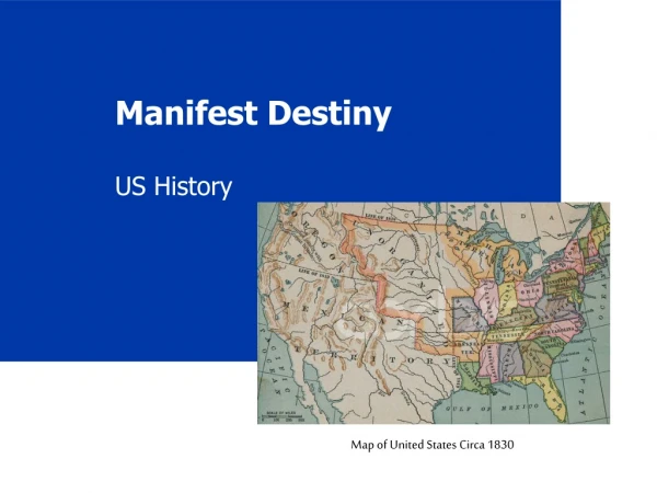
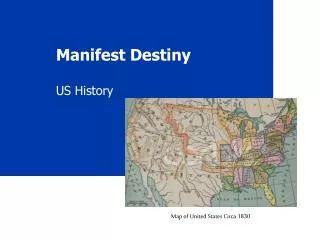
Map of United States in 1816 • But in 1816, we hadn’t spread that far yet. • This is before the annexation of Texas and before the Mexican War.
Melish Map, 1816 • John Melish could have drawn the map of the United States to just include American territory. • Instead he drew the continent from sea to sea. • Why did he choose to draw the map this way? • Look at the worksheet and read Melish’s explanation for why he drew the map that way.