Global Positioning Systems Wing
120 likes | 158 Views
This presentation provides updates on the modernization of the GPS program, including new civil signals and cooperation with other GNSS systems. It details the design and launch timelines of new signals and satellite blocks, as well as the ongoing efforts to maximize interoperability. The update also addresses recent satellite performance issues and the steps being taken to resolve them. Overall, GPS remains committed to service excellence and cooperation with global navigation systems.

Global Positioning Systems Wing
E N D
Presentation Transcript
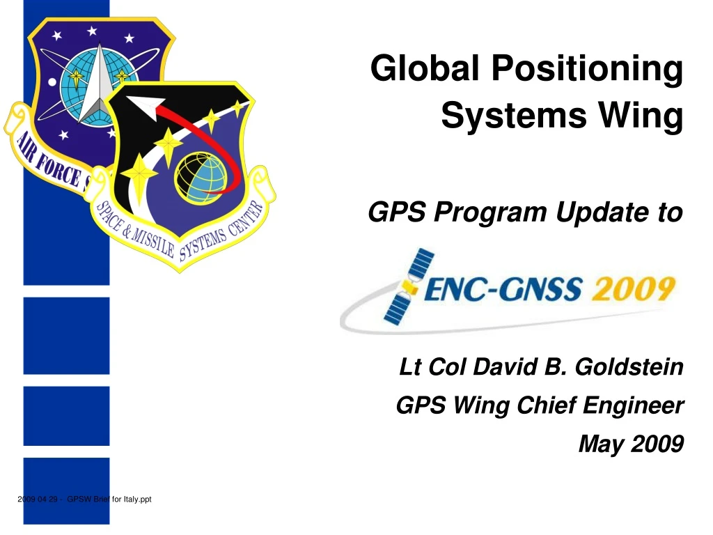
Global Positioning Systems Wing GPS Program Update to Lt Col David B. Goldstein GPS Wing Chief Engineer May 2009 2009 04 29 - GPSW Brief for Italy.ppt
Agenda • Modernization • Constellation and Launch Status • Cooperation with other GNSS • Summary
GPS Modernization – New Civil Signals • Second civil signal “L2C” • Designed to meet commercial needs • Higher accuracy through ionospheric correction • 1st launch: Sep 2006 (GPS IIR-M); 24 satellites: ~2016 • Third civil signal “L5” • Designed to meet demanding requirements for transportation safety-of-life • 1st launch: 24 Mar 09 (IIR-20(M)); 24 satellites: ~2018 • Fourth civil signal “L1C” • Designed with international partners for GNSS interoperability • Begins with GPS Block III • 1st launch: ~2014; 24 satellites: ~2021
P(Y) C/A L2C M L5 L1C L1C L5 L2 L1 GPS – Spectrum Block IIA 1990 Block IIR 1997 Previous Since Dec 2005 (6 SVs) Block IIR-M, 2005 Planned Block IIF, 2009 Block III, 2014 (artist’s concept) RNSS BandRNSS BandRNSS Band
GPS – Serving the World • Constellation– one of the largest ever - 30 Operational Satellites • 12 Block IIA • 12 Block IIR • 6 Block IIR-M • Most Recent Launch • IIR-20(M) – 7th modernized SV • Launched 24 Mar 09 • SVN 49 / PRN 01 • L5 signal brought into use 10 Apr 09 • Next Launches • IIR-21(M) – Aug 09 • IIF-1 – Late CY09, Early CY10
SPS Signal in Space Accuracy N/A N/A N/A N/A N/A 7 Signal-in-Space User Range Error is the difference between a GPS satellite’s navigation data (position and clock) and the truth, projected on the line-of-sight to the user 2001 SPS Performance Standard (RMS over all SPS SIS URE) 6 5 2008 SPS Performance Standard (Worst of any SPS SIS URE) 4 RMS SIS URE (m) RMS Signal-in-Space User Range Error (URE), meters 3 Decreasing range error 2 1.6 1.2 1.1 1.0 1 0 1990 1992 1994 1996 1997 2001 2004 2006 2008 Selective Availability (SA) System accuracy exceeds published standard
L5 Update • Third civil signal • Brought Into Use 10 April 2009 • Designed to meet demanding requirements for transportation safety-of-life • Initial broadcast of the L5 demonstration signal was monitored and validated
IIR-20 (M) Update (SVN 49 / PRN 01) The GPS IIR-20(M) satellite launched March 24, 2009 is experiencing “out of family” measurements discovered April 9, 2009 The United States Air Force has formed a response team Currently examining data from the satellite that is not consistent with other IIR-M satellite signal performance The response team continues to aggressively work to resolve the issue and expects engineering analysis to continue for at least two more months The team’s goal is to thoroughly analyze the data to identify root cause and a way ahead Worldwide GPS users and the operational satellites are not impacted by this problem since this satellite is still in the Early Orbit Checkout phase and has not been introduced into the operational constellation
1559 1575.42 1610 Frequency (MHz) Cooperation with other GNSS • GPS is actively engaged with other GNSS • To ensure RF compatibility in increasingly crowded GNSS bands • To maximize interoperability through use of common civil signals (e.g. L1C) • Bi-lateral meetings with Galileo, QZSS, GLONASS, Compass, IRNSS Lower L Band Upper L Band S Band 2483.5 2500 GPS GLONASS Galileo COMPASS QZSS IRNSS SBAS GPS GLONASS Galileo COMPASS QZSS IRNSS SBAS 1164 1176.45 1191.795 1207.14 1215 1227.6 1268.52 1278.75 1300 Frequency (MHz)
Summary • GPS has continuously met its commitments to all users since FOC in 1995 • GPS has had multiple operational and acquisition successes in the past year • Modernization of all GPS Segments is on track • Actively working with other GNSS programs A Commitment of Service