Download
1 / 26
260 likes | 466 Views
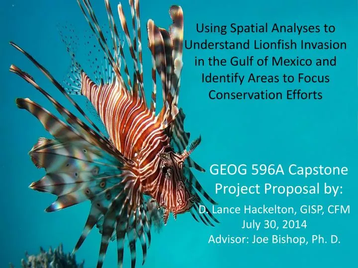
Using Spatial Analyses to Understand Lionfish Invasion in the Gulf of Mexico and Identify A reas to Focus Conservation Efforts. D. Lance Hackelton, GISP, CFM July 30, 2014 Advisor: Joe Bishop, Ph. D. GEOG 596A Capstone Project Proposal by:. Personal Info.

E N D
Using Spatial Analyses to Understand Lionfish Invasion in the Gulf of Mexico and Identify Areas to Focus Conservation Efforts D. Lance Hackelton, GISP, CFM July 30, 2014 Advisor: Joe Bishop, Ph. D. GEOG 596A Capstone Project Proposal by:
Personal Info • Bachelor’s in Health Science – University of North Florida, 2004 • GIS Certificate – Pennsylvania State University, 2009 • GIS Professional Certificate 63320 – GIS Certification Institute, 2013 • Taylor Engineering, Inc. – 2005 – present • Geospatial Scientist • Creekside High School – 2009 – present • Academy of Environmental and Urban Planning Advisory Board Member • Employed in the field of GIS for almost 12 years
Outline • Invasive Species • Lionfish Intro • The Problem • Goals & Objectives • Data • Methods • Implications • Timeline • Acknowledgements • Q&A
What are Invasive Species? Defined by the National Invasive Species Council as: “an alien species whose introduction does or is likely to cause economic or environmental harm or harm to human health”
Where do lionfish come from? Map Credit: NOAA
Why is it important? • Reef ecosystems are in jeopardy • Adverse impacts to stakeholders • Snowballing • Understanding the invasion on a regional scale is an important first step
Why use spatial analysis? • Geographic component • Power of GIS • A tool, not a solution
Goals and Objectives • Goal: Develop an understanding of the lionfish invasion of the Gulf of Mexico and to predict where it is likely to spread
Data Sources • Reported lionfish sightings
Data Sources • Reef locations
Data Sources • Bathymetry • NOAA • Wish list • Salinity • Currents • Reef fish distribution
Objective: Build geodatabase using Arc Marine Data Model schema
Methods • Location series points of lionfish sightings • Feature points of reef locations (coral, hard substrate, artificial) • Bathymetric raster data
Objective: Use Inverse Distance Weighted (IDW) analysis combined with cellular automata to perform temporal analysis Time + number of occurrences per cell
Methods • Apply values to cells based on cumulative number of occurrences • Inverse Distance Weighted Analysis
Objective: Use cellular automata to model habitat vulnerability Reef location + bathymetry
Methods • Apply weighted values to cells based on sum of qualifying criteria
Implications • Regional fisheries management plans • Reef fish • Corals • Areas to focus conservation efforts
Timeline • July 2014: Complete proposal • August thru October 2014: Conduct further research and perform analysis • October thru December 2014: Compile results in full report, present findings at conference
Where to present? • ESRI Ocean GIS Forum, November 2014 • NSGIC Midyear Meeting, February 2015 • ESRI Southeast User Conference, May 2015 • UCGIS Symposium, May 2015 • ESRI International User Conference, July 2015 • Society For Conservation GIS, July 2015 • Suggestions?
Special Thanks to: • Joe Bishop, Ph.D., PSU • Jorge Brenner, Ph.D., The Nature Conservancy • Michael Thompson, M.Sc., The Nature Conservancy • Alexandra Carvalho, Ph.D. GISP, CMAR Consulting, LLC • Ken Craig, P.E., Taylor Engineering, Inc. • Matthew Johnston, Nova Southeastern University