Download
1 / 27
270 likes | 289 Views
Explore the geospatial architecture profile of Charlotte City showcasing strategic technology planning, governance principles, and system architecture. Learn about current investments, regional strategies, and performance metrics.

E N D
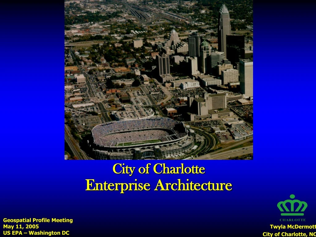
City of Charlotte Enterprise Architecture Geospatial Profile Meeting May 11, 2005 US EPA – Washington DC Twyla McDermott City of Charlotte, NC
Proposed Use Cases • US Bureau of Census – TIGER/Boundary & Annexation Survey • DHS – Regional Interoperability • EPA – Critical Assets
Charlotte, North Carolina Cost of living below the national average Average of 534 airline flights daily 286 Fortune 500 firms represented 11,761 new jobs for 2004 Population (2005) : 632,760 • 1st most popular move destination • 1st America's most livable communities • 1st economic strength ranking • 2nd largest banking center • 3rd best city for corporate headquarters • 3rd best metro area for business location • 5th in number of Fortune headquarter co. • 5th largest urban region • 6th largest wholesale center in the U.S. • 7th best city for business development • 7th highest new & expanded business activity • 7th largest University Research Park • 9th best city for entrepreneurship • 17th most active airport in the country • 19th best real estate market • 21st largest city
EA Status • Strategic Technology Planning Practice • Bi-Annual and As-Needed Processes • Technology Governance Structure • Technology Vision, Principles & Strategic Themes • Corporate Strategy Alignment • EA Software Tool: iServer (Orbus) • Business Unit Services Documented • To-Be Business Processes: Charlotte-Mecklenburg Utilities GIS Foundation Project • Citywide Strategic Planning Underway
Principles:City Technology Investment Guidelines • Leverage Existing Technology • Buy Before Build • Drive Technology with Business Strategy • Adopt and Employ Standards • Account for Technology Training/Learning/Skills • Manage the Architecture • Measure Technology Proposals & Make Collaborative Investments • Ensure Security • Account for Disaster Recovery / Business Continuity Needs
EA Governance Organizational Priorities Sub-Cabinet Direction & Approval Technology Management Team Discussion & Recommendation Issue Identification & Resolution Data Architecture Team Application Architecture Team Technology Platform Architecture Team
Citizen Service Performance Measurement Technology Alignment
Phases of EA Planning Optimization Leverage Late FY05?? Detailed Inventory June 2005 PERFORMANCE LEVELS Direction Today Alignment July 2004 Visibility
Direction: 2005 Citywide STP Steering Committee KBUs TMT Focus Area Groups TMT Focus Area Groups Tech Focus Area Groups Implementation TMT Strategy & Investment Team TMT Strategy & Investment Team Completed Citywide STP Draft & Review Cycles Draft Citywide STP Org Priorities Executive Sub-Cabinet Manager’s Cabinet TMT
Citywide Strategic Technology Plan • 12 Technology Focus Groups • FY06 Budget Requests • Capture Future Environment • 10/12 have Geospatial relationship • Business Units: Current and Future Investments
Geospatial Architecture • GIS Strategic Plan (2002) • Governance, Data, Applications, Technology Platform, Budget, User Training & Support • Documented in Visio, Access and other office productivity tools • Technology Platform: Communications Asset (geo)database • Initial, detailed technology architecture • CMU GIS Foundation Project
EA & GIS Governance Architecture Governance Business Current Systems Application Virtual Map Book Technology Management Team (TMT) GIS Enterprise Team (GET) Data Spatial Data Warehouse, Enterprise GIS Data Model Data & Infrastructure Committee Technology Platform Development & Production Servers, SANS, SQL/Server, ArcSDE, ArcIMS Strategy & Implementation Principles
History Raster Spatial Data Warehouse Land Use & Land Cover Boundaries Environment Geographic Names Hydrography Cadastral Emergency Response Transportation Capital Investment Plan Census Structures & Critical Infrastructure Health Geodetic Control Utilities
Process Modeling Focuses on The Use and Maintenance of GIS Data Field Work that Changes the Utility Infrastructure Must be Reflected in GIS
City Service Areas (By County) Transit – 7 Counties Fire – 14 Counties Police – 11 Counties Transportation – 11 Counties
Regional Strategies:Charlotte Metropolitan Region Economic Development • Regional Comprehensive Economic Development Strategy • Charlotte Regional Partnership Public Safety and Homeland Security • Regional Radio Interoperability • Standards Initiative for Regional Preparedness Transportation • Regional Travel Demand Model • Charlotte Area Transit System Environment • Open Space Planning • Regional Vulnerability Assessment (ReVA) • Sustainable Environment for Quality of Life (SEQL) Planning Coordination • Regional Planning Alliance • Councils of Governments
To provide the organizational, technical and operational structure for sharing the most current and accurate standards-based geospatial data to support citizen service and regional strategies. Regional GIS Framework
Strategic Linkages:State and Federal State of North Carolina • NC OneMap • Geographic Information Coordinating Council (GICC) State of South Carolina • Statewide Mapping Advisory Committee Federal • Federal Geographic Data Committee (FGDC) • Future Directions Program: Urban Areas Work Group (City of Charlotte) • Content Standards (Mecklenburg County) • Geospatial Enterprise Architecture (City of Charlotte) • Geospatial One-Stop • The National Map
Strategy Components • Governance • Organizational Structure • Data Sharing Policies • Business Plan • Business Case • Financial Plan • Marketing & Communications • Messages, Branding & Outreach • Technology Architecture Plan • Prioritized Framework Data • Existing, Future Environments • Gap Analysis
Steering Committee Representation AGENCIES DISCIPLINE Federal Geographic Data Committee NC Center for Geographic Information & Analysis USGS
Federal Reference Models, Standards, Funding State Standards Regional Business Needs Regional Strategy Shaping the NSDI Local Business Needs
City of Charlotte Enterprise Architecture GIS Charlotte…More Than Maps