Download
1 / 15
150 likes | 310 Views
This overview covers essential map reading skills and key concepts in human geography. A map serves as a scale model of the Earth, with cartography as the science behind map-making. Maps fulfill two main purposes: reference and communication tools. We explore the geographic grid, composed of latitude and longitude, and learn about important terms like remote sensing, GPS, and GIS. Additionally, we examine various types of maps including dot maps, area class maps, isoline maps, flow line maps, choropleth maps, and cartograms, understanding their role in geographic analysis.

E N D
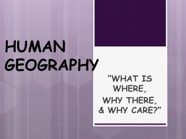
Mapping in Human Geography Chapter 1 sections 3, 4 and 5
Reading Maps • A map is… • A scale model of all or a portion of Earth • The science of mapmaking is… • cartography • Maps serve two purposes • A reference tool • A communication tool (the language of geography) • The scientific method of transferring locations on Earth’s surface to a flat map is called… • A projection
The Geographic Grid • A system of imaginary arcs drawn in a grid pattern on Earth’s surface is… • The geographic grid • The grid divides the Earth’s surface into… • latitude and longitude lines • Arc drawn between the North and South pole is… • Meridian (Prime Meridian) • Circle drawn around the globe parallel to the equator is… • A parallel
Terms/Concepts Remote Sensing GPS GIS
Modern Mapping in Geography • Remote Sensing- the acquisition of data about Earth’s surface from a satellite orbiting Earth or from other long-distance methods
GPS • Global Positioning System (GPS)- a system that determines the precise position of something on Earth
GIS • Geographic Information System (GIS)- a computer system that captures, stores, queries, analyzes, and displays geographic data
Terms/Concepts • Remote Sensing • GPS • GIS