Download
1 / 26
260 likes | 502 Views

E N D
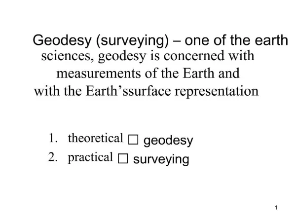
1. Geodesy (surveying) � one of the earth sciences, geodesy is concerned with measurements of the Earth and with the Earth�s surface representation theoretical ? geodesy
2. practical ? surveying 1
2. Projection of points to a horizontal projection surface 2
3. Planimetric component of a map = image of the Earth�s surface which represents subjects of survey positioning (set of points, lines and map symbols).
Altimetry = graphic representation of the Earth�s relief (contour lines, peak elevations).
Map = image of subjects of planimetric and (or) altimetric survey,
= result of measurements. 3
4. Shape and size of the Earth, reference surfaces Earth = a physical solid whose shape is created and maintaned by the gravity.
The real Earth surface is irregular and its mathematical formulation is not possible. Therefore it is replaced by a closed surface which is perpendicular to the force of gravity = equipotential surface.
There are an infinite number of equipotential surfaces (they differ in the gravity potential). 4
5. The most important is the zero surface which comes through the zero height point.
Geoid = solid created by the zero surface,
� similar to the real Earth surface and very difficult to express mathematically.
Therefore basic geodetic problems are solved using rotational ellipsoid (advantage = an �easy� mathematical formulation). 5
6. 6
7. The ellipsoids used in the Czech Republic 7
8. Geodetic problems with lower requirements for accuracy are solved using a sphere as the reference surface.
Radius of the reference sphere is about 6380 km. 8
9. Cartographic projections assignment of points between reference and projection surfaces (e.g. a sphere and a plane),
mathematical formulas for the projection have to be known.
Error of the cartographic projection = a deformation of distances, angles or areas displayed on the map. The error is caused by a cartographic projection process. 9
10. Cartographic projections classification according to the error of the projection conformal projections � angles are undistorted
equidistant projections � distances are undistorted (some of them)
equivalent projections � areas are undistorted
compensated projections � angles, distances and areas are distorted 10
11. Cartographic projections classification according to the position of the projection surface Projection surface � plane, cone or cylinder
normal position � axis of a cone or a cylinder is identical with the Earth axis
transversal position � axis of a cone or a cylinder lies in the equator plane
universal position 11
12. Normal position of a cone, a cylinder and a plane 12
13. Cassini-Soldner�s projection ellipsoid ? cylinder ? plane
the equidistant projection of meridian zones (ellipsoid ? cylinder)
the transversal position of the cylinder
maps of �stable� cadastre of 19th century in Austrian Empire (1:2880, 1:2500)
axis +X to the south, axis +Y to the west
60% of contemporary cadastral maps 13
14. Krov�k�s projection universal conformal conic projection (ellipsoid ? sphere ? cone ? plane)
national projection
universal projection = less effect of the scale error
the scale error is 1,0001 near the borders of the Czech Republic and 0,9999 in the middle of the territory
axis +X to the south, axis +Y to the west
Y < X
datum of Unified trigonometric cadastral net S � JTSK
14
15. Krov�k�s projection 15
16. Gauss-Kr�ger�s projection transversal conformal cylindrical projection of 6� meridian zones (ellipsoid ? cylinder ? plane)
the meridian in the middle of every meridian zone is undistorted, the scale error is 1,00057 at the edges of zones
axis +X to the north, axis +Y to the east
this projection is used for military purposes
1942 coordinate system (S � 42) 16
17. Gauss-Kr�ger�s projection 17
18. Substitution for a sphere by a plane 18
19. ? = d / r ?? d = r . ? , tg ? / 2 = t / 2 r ?? t = 2 r . tg ? / 2 , sin ? / 2 = D / 2 r ?? D = 2 r . sin ? / 2 . Taylor�s expansion
![The Dynamic Earth and Space Geodesy EATS 1010 3.0 [Fall 2011]](https://cdn2.slideserve.com/3879118/slide1-dt.jpg)