Download
1 / 27
270 likes | 431 Views
VALERI Meeting 10 March 2005, INRA, Avignon, France A new VALERI validation site in North-Western China: The ‘Shandan’ grassland Four years of bilateral cooperation between the People’s Republic of China and the Flemish Community in the RESPOM project

E N D
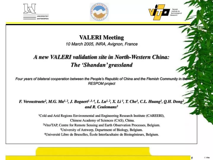
VALERI Meeting 10 March 2005, INRA, Avignon, France A new VALERI validation site in North-Western China: The ‘Shandan’ grassland Four years of bilateral cooperation between the People’s Republic of China and the Flemish Community in the RESPOM project F. Veroustraete2, M.G. Ma1, 2, J. Bogaert1 ,3, 4, L. Lu1, 2, X. Li 1, T. Che1, C.L. Huang1, Q.H. Dong2 and R. Ceulemans3 1Cold and Arid Regions Environmental and Engineering Research Institute (CAREERI), Chinese Academy of Sciences (CAS), China. 2Vito/TAP, Centre for Remote Sensing and Earth Observation Processes, Belgium. 3University of Antwerp, Department of Biology, Belgium. 4Université Libre de Bruxelles, École Interfacultaire de Bioingénieurs, Belgium.
Contents • The project. • The spatial sampling strategy. • Shandan site description. • The spatial sampling strategy at Shandan. • Field instruments • Results – Field measurements – LAI • Results – Field measurements – Gap fraction • Results – Field measurements – Albedo • Results – Up-scaling with Landsat ETM+ • Results – Aggregation of ETM+ imagery to 1x1 km² • Results – Validation of the MODIS LAI product • Conclusions.
The project • The objectives of the project • To evaluate the absolute accuracy of biophysical products (LAI, fAPAR, fCover) derived with a range of algorithmsfrom large swath sensors (e.g. AVHRR, POLDER, VEGETATION, SEAWIFS, MSG, MERIS, AATSR, MODIS, MISR,…). • To inter-compare products derived from different sensors and algorithms. • For this purpose, the project develops: • A network of sites distributed globally. • A standard methodology designed to directly measure the biophysical variables of interest at the proper spatial and temporal scales.
The project Specific objectives in RESPOM • Spatial definition of the sampling strategy. • Site related georeferenced field measurements of LAI, Albedo and Gap fraction. • Up-scaling of field measurements using high resolution Landsat ETM+ imagery. • Aggregation of high resolution validation fields to large swath sensors resolution (1x1 km²) to validate bio- geophysical products from MODIS (VEGETATION upcoming). • Evaluation of bio-geophysical product accuracy over an ensemble of Valeri sites and campaign dates available (the future).
The project core sites Valeri core sites Shandan site MODLAND Core sites
Shandan site description • The Shandan site is located in the footprint of the Qilian Mountains where the Heihe river originates. Due to the fertile soil and appropriate climate, this grassland became a high quality horse feedlot for over more than 2000 years. The yearly mean precipitation level is approximately 150 mm and evaporation is 2531 mm. This area belongs to the semi-arid regions in China. • The Shandan site is centered at 38.02 °N, 102.25 °E with an elevation of 2700 m. The field campaign was executed from July 11th to July 15th, 2002. The location of the 38 ESU’s is randomly determined and the ESU’s localized with GPS. • The vegetation is characterized by a very homogenous semi-arid grassland with a high fractional cover. • The following data were collected: LAI2000 data (LAI, gap fraction), albedo, TRAC data, soil temperature and vegetation diversity (species richness).
3 km 3 km 37 crosses (ESU’s) Spatial distribution and Representation of each cover class Few measurement transects The spatial sampling strategy at Shandan Landsat ETM+ false-color RGB of channels 1, 2, and 3 for the Shandan site
The spatial sampling strategy at Shandan Site ESU distribution TRAC LAI and Albedo
Field instruments used in the campaign PAR Albedometer (Patent pending,Bogaert J.-UA) TRAC (CCRS) LAI-2000 (Licor)
Results: LAI field measurements – LAI2000 Clear-cut increase in standard deviation with increasing LAI
Results: LAI field measurements - TRAC vs LAI2000 Comparison between TRAC and LAI-2000 LAI data elicits a relatively good agreement.
LAI2000 sampling Results: Field measurements - Gap fraction vs LAI Small zenith angles are suboptimal
Results: Albedo field measurements Very weak relationship between standard deviation and albedo. Probably a linear increase of standard deviation with increasing albedo.
Results: Upscaling using VI’s from Landsat ETM+ NDVI: R² = 0.53; RMSE = 0.24 SR: R² = 0.54; RMSE = 0.20 SAVI: R² = 0.67; RMSE = 0.18
Results: Upscaling LAI using ETM+ SAVI Transfer function
Results: Upscaling Gap fraction using ETM+ NDVI Transfer function
Results: Upscaling Albedo using ETM+ NDVI Transfer function
Results: Aggregation of ETM+ LAI HR to 1x1km² Pixel frequency at the 30x30 m² scale is different for each ESU. To aggregate, the mean value of the pixel distribution was selected as a first proxy for the pixel value at the 1x1 km² scale.
Results: Aggregation of ETM+ LAI HR to 1x1km² Aggregated 1x1 km² LAI data from ETM+ NDVI data using mean values Aggregated 1x1 km² LAI data from ETM+ SR data using mean values Aggregated 1x1 km² LAI data from ETM+ SAVI data using mean values
Results: Validation of MODIS LAI product Validation of MODIS LAI data with aggregated LAI data from ETM+ NDVI Validation of MODIS LAI data with aggregated LAI data from ETM+ SR Validation of MODIS LAI data with aggregated LAI data from ETM+ SAVI Best fit (highest R²), best slope (closest to 1) and smallest intercept (systematic bias)
How about,…. conclusions • The complete procedure has been applied at the Shandan site in Northwestern China. The Shandan site is very suitable since its vegetation is a homegeneous grassland. • Three bio- geophysical variable fields have been produced for validation purposes, e.i., LAI, gap fraction and albedo. • SAVI seems to be the best of three VI’s to perform up-scaling. Nevertheless, the aggregated 1x1 km², obtained with NDVI based up-scaling, elicits the best results in the MODIS LAI product validation. • The comparison between LAI measurements with the LAI-2000 and TRAC is satisfactory. However, LAI-2000 measurements are of beter quality. • Suboptimal sampling is observed for the between 10 and 30 cm high grassland Shandan site, when small view zenith angles are selected with the LAI-2000. • The MODIS LAI product elicits a systematic bias with higher LAI values. A plausible reason can be s.o.p.
LAI2000 sampling Conclusions: Suboptimal LAI sampling • Small zenith angles are suboptimal when the vegetation has a low height. • In that case the effective LAI will be underestimated. • This can explain the higher MODIS LAI with respect to the up-scaled field measurements. • It should be investigated whether the elimination of the smallest view zenith angles gives better validation results, or the application of DHP.