Download
1 / 11
110 likes | 137 Views
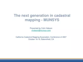
The next generation in cadastral mapping - MUNSYS. Presented by Colin Hobson chobson@munsys.com California Cadastral Mapping Association, Conference of 2007 October 18-19, Bakersfield, CA. CAD, GIS and Cadastral Mapping.

E N D
The next generation in cadastral mapping - MUNSYS Presented by Colin Hobson chobson@munsys.com California Cadastral Mapping Association, Conference of 2007 October 18-19, Bakersfield, CA
CAD, GIS and Cadastral Mapping • Both CAD and GIS technologies are used pervasively for cadastral mapping • CAD provides a rich and unmatched editing environment • GIS delivers advanced analysis and modeling capabilities built upon the depth of information associated with the mapped data.
Why Munsys for Cadastral mapping • Munsys is a next generation solution that improves the use of both technologies while also enabling the sharing of data between them • Uses the power of CAD for editing • Uses a single database • to store the CAD and GIS data that can be accessed by both technologies • Geometry (points, lines, polygons and text) are stored in the same table as the attribute information • Data stored in OpenGIS compliant format.
Key “generation” changes • Moving the data store to the next generation • AutoCAD on steroids for cadastral mappers • Drawing tools • Attributes • Single data store • Multiple users • Change tracking in the maps • Easy integration with other systems • GIS • Financial etc
Cadastral App App Export Import Web Applications AutoCAD / Map / LDT / C3D Autodesk MapGuide Data Interop GIS ORACLE Spatial or Locator Billing & Customer Services Asset Management Emergency Response Operations Management Planning & Analysis Munsys with the centralized data approach
Demonstration Munsys-ESRI interoperability demo
Key “generation” changes • Moving the data store to the next generation • AutoCAD on steroids for cadastral mappers • Drawing tools to create and maintain line work and then generate clean polygons without overlaps • Attributes • Single data store • Multiple users • Change tracking in the maps • Easy integration with other systems • GIS • Financial etc
Munsys Benefits • Powerful editing functionality • Single dataset not many drawings and other files • No more import/export or duplicate work • OpenGIS data format • History tracking • CAD for editing GIS for analysis • Geometry and attributes integrated into a single database record – use standard tools for managing this data and to link to other databases • Off-the shelf product for small and large organizations
Thank youQuestions? Colin Hobson chobson@munsys.com