Download
1 / 28
280 likes | 443 Views
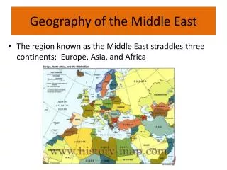
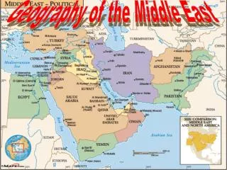
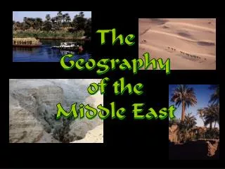
The Geography of the Middle East. The Middle East vs. the U. S. Latitude Lines. Middle East? OR Near East? OR Southwest Asia? OR….?. Bodies of Water. Tigris River. Mediterranean Sea. Euphrates River . Jordan River . Suez Canal . Strait of Hormuz. Persian Gulf.

E N D
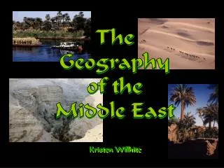
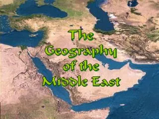
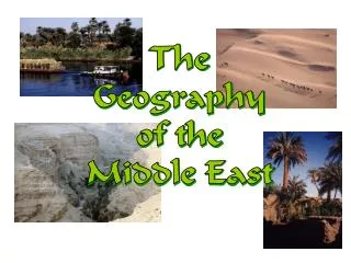
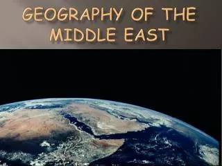
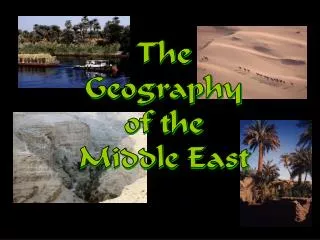
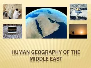
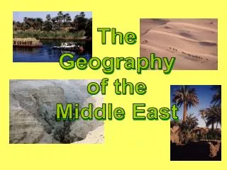
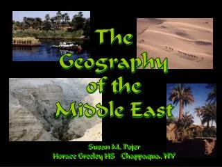
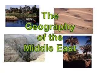
The Geography of the Middle East
Bodies of Water TigrisRiver Mediterranean Sea EuphratesRiver Jordan River Suez Canal Strait ofHormuz Persian Gulf Nile River Red Sea Gulf of Aden IndianOcean
Egypt: The “Gift of the Nile” Nile Delta Annual Nile Flooding 95% of the Egyptian people live on 5% of the land!
Aswan High Dam, Egypt HydroelectricPower Plant
Suez Canal Completed by the British in 1869
The Tigris & EuphratesRiver System Mesopotamia: ”Land Between the Two Rivers” Marsh Arabs, So. Iraq
TheJordan RiverSystem: Israel & Jordan--A Fight OverWater Rights?
Dead Sea: Lowest Point on Earth 2,300’ below sea level HighestSaltContent(33%)
Mountains & Plateaus Caucasus Mts. Elburz Mts. AnatolianPlateau Iranian Plateau Taurus Mts. Zagros Mts. Atlas Mts. Hejaz Mts.
Mountain Ranges in Mid-East Elburz Mts., Iran Zagros Mts., Iran Lebanese Mts. Taurus Mts., Turkey
Deserts NegevDesert SinaiDesert ArabianDesert Rubal-Khali Sahara Desert
Completed Map Caucasus Mts. Black Sea Caspian Sea Elburz Mts. Dardanelles Strait AnatolianPlateau AtlanticOcean Mediterranean Sea TigrisRiver EuphratesRiver Iranian Plateau Taurus Mts. Jordan River Zagros Mts. Atlas Mts. NegevDesert SinaiDesert Suez Canal Strait ofHormuz ArabianDesert Persian Gulf Libyan Desert Nile River Gulf ofOman Rubal-Khali Red Sea Hejaz Mts. Sahara Desert ArabianSea Gulf of Aden IndianOcean