Download
1 / 42
440 likes | 835 Views
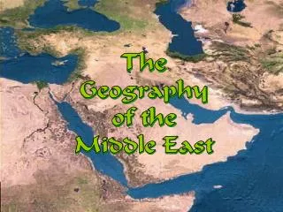
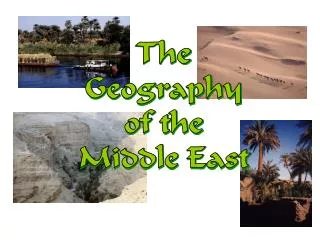
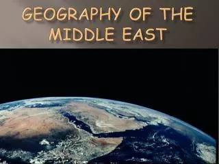
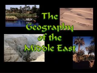
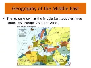
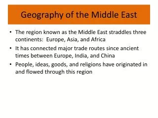
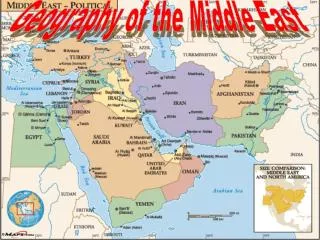
The Geography of the Middle East. Mr. Mark Gonzalez Santiago Christian School. The Middle East Today: Political Map-Label it w/ Mr. G. Middle East? OR Near East? OR Southwest Asia? OR….?. Bodies of Water. Caspian Sea. Mediterranean Sea. Euphrates River . Suez Canal .

E N D
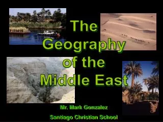
The Geography of the Middle East Mr. Mark Gonzalez Santiago Christian School
Bodies of Water Caspian Sea Mediterranean Sea EuphratesRiver Suez Canal Persian Gulf Nile River Red Sea ArabianSea IndianOcean
Egypt: The “Gift of the Nile” Nile Delta Papyrus-Paper Annual Nile Flooding • 95% of the Egyptian people live on 5% of the land! • Lined w/ papyrus plants
Aswan High Dam, Egypt Hydroelectric Power Plant The aim of both projects was to control Nile River flooding, to provide storage of water for agriculture, and later, to generate electricity.
Suez Canal • Completed by the British in 1869 • Today, the canal is owned and maintained by the Suez Canal Authority(SCA) of the Arab Republic of Egypt. • it may be used "in time of war as in time of peace, by every vessel of commerce or of war, without distinction of flag."
The Tigris & EuphratesRiver System Mesopotamia: ”Land Between the Two Rivers” Today the area is called the country of Iraq Marsh Arabs, S. Iraq
Dead Sea: Lowest Point on Earth 2,300’ below sea level HighestSaltContent(33%)
Wadis – Instant Springs-dry during Summer, overflowingat times during the winter season due to rains
Ghardaïa (Tagherdayt), Algeria, with the dry bed of Wadi Mzabon the right side.
Mountain Ranges in Mid-East Elburz Mts., Iran Zagros Mts., Iran Lebanese Mts. Taurus Mts., Turkey
Deserts NegevDesert Libyan Desert ArabianDesert Rubal-Khali Sahara Desert
2011 Libya Uprising • The Libyan people are rebelling against the cruel 42 year dictatorship of Muammar Gaddafi • 10,000 Libyans have been killed since mid February in this uprising
Libya Uprising • The city of Benghazi has been captured and held by rebels • No fly zone • US and other nations are enforcing the no fly zone
Swarms of Desert Locusts! Israel Hit By Worst Locust Plague Since the 1950s! Locusts Swarm the Pyramids Complex at Giza!
Rub al-Khali:“The Empty Quarter”and is neither inhabited nor traversed by the Bedouins. - Geologically, the Empty Quarter is the second most oil-rich place in the world
Rub al-Khali: • Summer temperatures of nearly 55 °C (131 °F) and dunes over 330 meters (1,080 ft) make Rub' al Khali a forbidding environment.
DesalinizationPlants: To provide fresh drinking water
Completed Map Caucasus Mts. Black Sea Caspian Sea Dardanelles Strait AnatolianPlateau Elburz Mts. AtlanticOcean Mediterranean Sea TigrisRiver EuphratesRiver Iranian Plateau Taurus Mts. Jordan River Zagros Mts. Atlas Mts. NegevDesert SinaiDesert Suez Canal Strait ofHormuz ArabianDesert Persian Gulf Libyan Desert Nile River Gulf ofOman Rubal-Khali Red Sea Hejaz Mts. Sahara Desert ArabianSea Gulf of Aden IndianOcean
Cairo, Egypt: Most Populated City in the Middle East 17 millionPeople!
The Natural Resources of theMiddle East-petroleum is the most valuable
Kuwait: An Island Floating on a sea of Oil KuwaitCity
Leading U. S. Oil Suppliers The U. S. imports 30% of its oil needs from the Middle East.