Download
1 / 17
170 likes | 300 Views
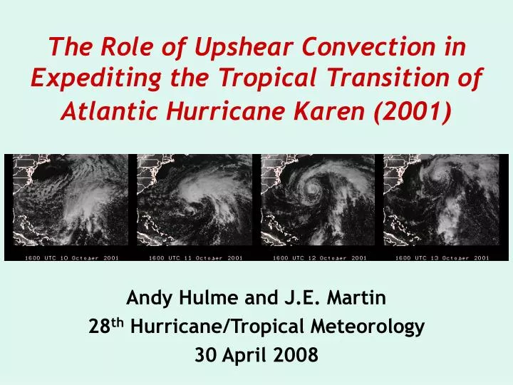
The Role of Upshear Convection in Expediting the Tropical Transition of Atlantic Hurricane Karen (2001). Andy Hulme and J.E. Martin 28 th Hurricane/Tropical Meteorology 30 April 2008. Background. Tropical transition: TCG from a baroclinic precursor

E N D
The Role of Upshear Convection in Expediting the Tropical Transition of Atlantic Hurricane Karen (2001) Andy Hulme and J.E. Martin 28th Hurricane/Tropical Meteorology 30 April 2008
Background • Tropical transition: TCG from a baroclinic precursor • Bracken and Bosart (1991), Montgomery and Farrell (1993) • Upshear convection organizes latent heating, removes shear, generates and merges small-scale vortex towers • Davis and Bosart (2001, 2003, 2004), Hendricks et al. (2004) • Diabatic processes significantly alter the bent-back warm fronts of purely extratropical cyclones. • Kuo et al. (1991, 1992), Neiman et al. (1993) • During occlusion upper-level PV also altered • Martin (1998), Posselt and Martin (2004), Martin and Otkin (2004)
Karen: Overview • Resulted from interaction between upper level trough and stalled cold front. • Developed rapidly on 11-12 October while subtropical • Eye-like structure develops on the 12th • Became tropical on the 13th, max. intensity=984 hPa
2315 UTC 09 Oct 2001 2315 UTC 10 Oct 2001 2315 UTC 11 Oct 2001 2315 UTC 12 Oct 2001
SLP,900 hPa winds Global (1ox1o) data from FNL 200 hPa height, 330-340 K PV
WRF Model HURDAT WRF • Initial/ boundary conditions from FNL. • 31 vertical levels, nested grids of 27 km and 9 km • Simulation lasts 48 h beginning 0000 UTC 11 October • Microphysics: WSM6 • Cumulus: KF2 • PBL: YSU • Radiation: Dudhia (SW), RRTM (LW).
Model Evaluation IR SAT. 1800 UTC 11 October 1500 UTC 12 October WRF HOURLY PRECIP. 9 km grid
Precipitation HourlyRain Rate(mm h-1)
900 hPa Absolute Vorticity • Until F15: banded • F18: negative vorticity, low-level jet • F21 to F27: cyclonic wrapping of vorticity • End result: circular vorticity around center Enagonio and Montgomery (2001), Molinari et al. (2004) 10-4 s-1
StretchingTendency (10-4 s-1 h-1) AdvectionTendency (10-4 s-1 h-1) 900 hPa F15 F19
Frontogenesis F12 F15 F18 F21
F12 Cross SectionAVORNORM(WINDS) • F12: negative vorticity at midlevels at the top of the frontal updraft • F18: extends to near the surface, intense/narrow along front jet (cold tongue) F15 F18
Trajectory Analysis • Forward and backward trajectories from negative vorticity area at F21 • Start north of warm front • Ascend rapidly upon reaching end of front • Descend into boundary layer • Wrap around warm anomaly
Emanuel et al. (1987), Raymond (1992) F06 F12 Cammas et al. (1994) PV flux = LHR x SHEAR F18 Thus if shear is strong, large horizontal displacement between upper and lower anomilies (Lackmann 2002) F24 335-345-K PV, PVU 305-315-K PV HVOR vectors
Diabatic Tendency (PVU h-1) Advective Tendency (PVU h-1) F18 335 K surface F24
Conclusions • Upshear of the cyclone is a likely area of low slantwise stability and region of efficient vertical PV redistribution • Upshear convection • generates intense western-end vorticity max that is eventually organized into smaller vortex • cycles cooler air into the BL which forms a cold tongue that encompasses the warm anomaly • redistributes PV to the surface and introduces a circulation that removes PV gradients