Download
1 / 31
320 likes | 471 Views
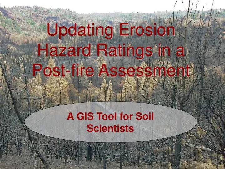
Updating Erosion Hazard Ratings in a Post-fire Assessment. A GIS Tool for Soil Scientists. Overview. Background Current Process Data My Toolset Anticipated Results Challenges Opportunities. Background. California has devastating wildfires every year

E N D
Updating Erosion Hazard Ratings in a Post-fire Assessment A GIS Tool for Soil Scientists
Overview • Background • Current Process • Data • My Toolset • Anticipated Results • Challenges • Opportunities
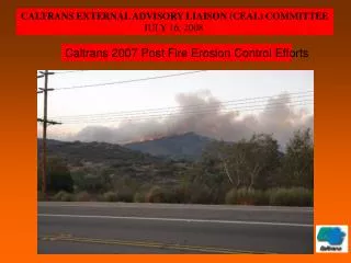
Background • California has devastating wildfires every year • Of the 4.8 million acres burned this year so far, 1.26 million are in California • 20 million acres of National Forest in California – 800,000 acres burned in 2008 • High vulnerability due to Mediterranean climate • Dry summers followed by wet winters • Summer lightning storms with little or no rain
Many communities adjacent to forests (WUI – Wildland-Urban Interface) • Fire is often just the beginning of concerns
Property Watersheds People
Post-fire assessments are handled by a BAER team • Team is composed of interagency specialists • Utilize data from multiple sources • Requires field assessment as well as written report Objective: To determine the need for and to prescribe and implement emergency treatments to minimize threats to life or property or to stabilize and prevent unacceptable degradation to natural and cultural resources resulting from the effects of a fire
Post-fire Assessments • Need to begin immediately and completed within one week of containment • Recommend and implement treatments to minimize damage • Erosion, landslide prevention is a key element • Time is limited
Assessing the Potential for Erosion • In California – Erosion Hazard Rating (EHR) • Developed jointly by the U.S. Forest Service and the California Soil Survey Committee (1989) • Used by many soil scientists, but not all • Some factors are subjective and require soils expertise, familiarity with local geography • Usually computed in a spreadsheet
Computing EHR • Erodibility Factors: Texture, aggregate stability • Climate Factor: 2 yr, 6 hr precipitation • Water Movement: Infiltration, depth to restrictive layer • Slope and slope length • Vegetative cover & distribution
Current Process – Part I Pre-Planning • Soil Scientists download soil surveys from Natural Resource Conservation Service website (http://soildatmart.nrcs.usda.gov) • Sometimes have hardcopy reports • Acquire burn severity maps • Go to the field
Available Datasets • Electronic soil surveys from NRCS • Spatial data in coverage or shapefile format with primary key field
Available Datasets • Electronic soil surveys from NRCS • Tabular data in Access database
Available Datasets • BARC – Burned Area Reflectance Classification • Produced for significant fires by USDA Forest Service Remote Sensing Applications Center • Satellite derived burn severity data (raster format) • Generally 4 classes: UNBURNED, LOW, MODERATE, HIGH • Often used as a proxy for vegetative cover
Both datasets are validated in the field Burn Severity
Both datasets are validated in the field Soil Type and Characteristics
Current Process – Part II Post Assessment • Datasets are modified if needed • Elements for EHR are entered into spreadsheet • Spreadsheet is handed off to BAER Team GIS specialist • merges the datasets • calculates the EHR for each soil/burn severity type • creates map of priority treatment areas
My Toolbar Export Table
My Toolbar Import Table
My Toolbar Merge Datasets
My Toolbar Create New EHR
Anticipated Results • A toolbar that can be added to ArcGIS Desktop software • Documentation for standardizing data to be exported and imported • Create interim merged dataset • Create new EHR layer and post it to Table of Contents with standard color coding
Challenges • Making SSURGO certified soil data usable • Extracting the necessary soil attributes and interpretations • Integrating the BARC (raster) and the soil data (vector) : simplicity vs. speed • Working with external tabular data (spreadsheet)
Opportunities • Develop Web Application • Adequate internet not always available • Datasets require manipulation - ?? • Create interactive form in the tool itself • Browsing • Attribute choices
Opportunities • Incorporate Slope Class • No treatment on >60% • Between 30% and 60% - aerial only
Acknowledgements • Dr. Patrick Drohan, Penn State University, advisor • Dave Young, Brad Rust, and Peter VanSusteren, USFS Soil Scientists • Employees of the Shasta-Trinity National Forest • Sue Cannon, USGS publication, http://pubs.usgs.gov/fs/2005/3106/pdf/FS-3106.pdf
Thank you Jonna Cooper jec336@psu.edu