Download
1 / 13
130 likes | 148 Views
Explore NWS perspectives on incorporating space-based lidar in weather forecasting for societal benefits and aviation support. Learn about the business case, technology readiness, and user priorities. Contact mike.w.johnson@noaa.gov for more information.

E N D
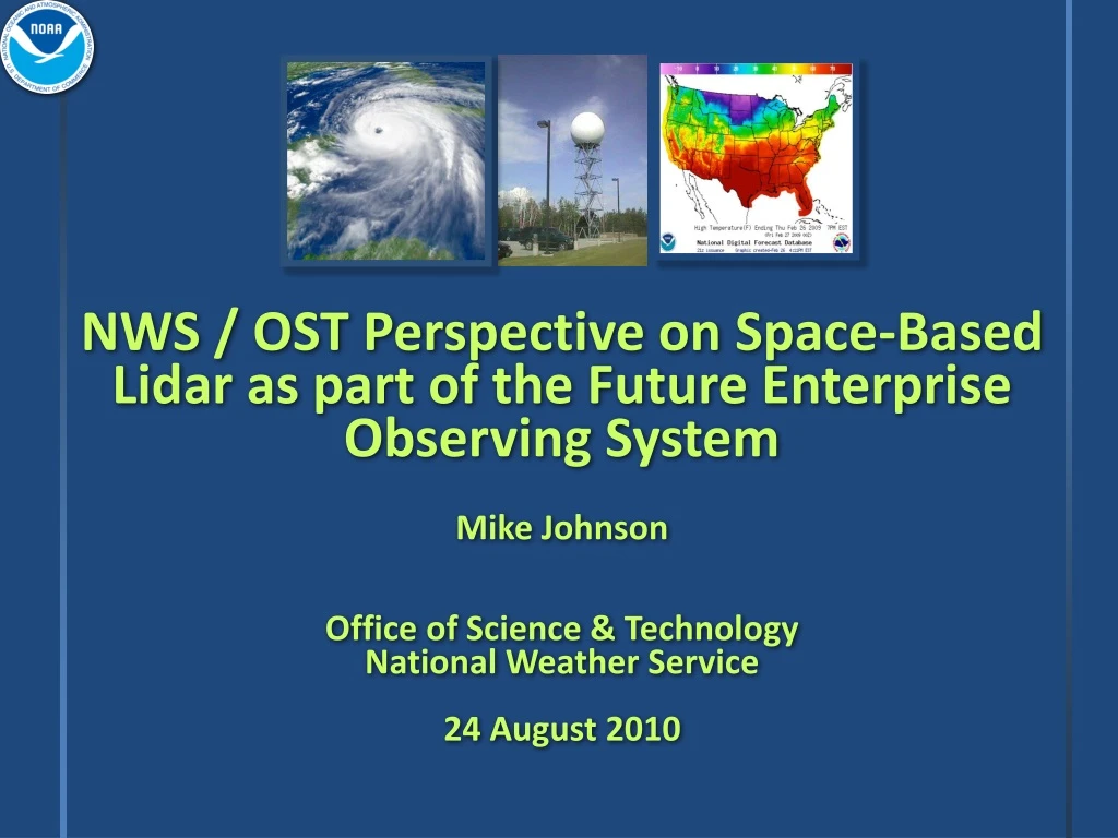
NWS / OST Perspective on Space-Based Lidar as part of the Future Enterprise Observing SystemMike Johnson Office of Science & TechnologyNational Weather Service24 August 2010
Overview • A NWS User-Perspective on possible path to operational space-based lidar • NWS Science & Technology Roadmap • Business Case for Operational Space-Based Lidar • Summary
National Need: High-Impact Weather Information in a Weather-Sensitive Society • Severe weather to protect lives and property • Winds and solar information for viable energy alternatives • Space weather to protect national comms, navigation, energy grid assets • Integrated ecosystem, water and air quality to improve water resource management, reduce health and environmental impacts • Aviation weather increase airspace capacity, safety and efficiency Weather and climate sensitive industries account for nearly 30 percent of the Nation’s GDP (NOAA Economics Statistics Report--2008)
Baseline Demand SectorCapacity 80-125% Future Demand 125-200% >200% High Weather Impact - PayoffAviation Weather Example • Air traffic likely doubling by 2025 • Delays cost $41 billion/year (2007) • 70% were weather related NextGen 2025 goal: • 2/3 reduction with better weather information • Improvements to forecast lead-time for initiation of storm-scale convection, ceiling/visibility
NWS/OS&T Mission Drive S&T Advances into NWS Operations • Respond to Field Requirements and Emerging Opportunities (user pull and S&T push balance) • Plan, Develop, and Implement Enterprise Solutions • Focused on the greatest need and payback to the Nation • Future: high-performance computing, cloud computing, next-generation collaboration/dissemination technologies, etc • Enable Continuous Improvement…with • Better, faster, and more cost effective solutions during austere budget era • Architectures for agile, rapid S&T insertion and reduced IT footprints • Partnerships-- transformational and emerging S&T beyond horizon
Integrated Observation andAnalysis System Strategies National Mesonet Network of Networks Integrated Radar (Lidar, gap-fillers, MPAR) Global Systems Multisensor platforms Optimization with OSEs, OSSEs Standards, Architectures, Protocols Maximize value of investment Future Weather Information Database Open Architecture Current Individual Systems Public Private Universities Radar Satellite In-Situ Upper Air Etc Analysis Inventory systems, and metadata standards Assess interdepend-encies, oversampling, gaps, levels of criticality
Overview • A NWS User-Perspective on possible path to operational space-based lidar • NWS Science & Technology Roadmap • Business Case for Operational Space-Based Lidar • Summary
Business Case for Operational Space-Based Lidar (slide 1) • Fiscal Realities • recognize competition with other observing systems, model & IT improvements, & forecast infrastructure redesign • Demonstrate technology is ready for space • Broaden Advocacy Base • Caution - but don’t become all things to all users (NPOESS example). Focus on main application then develop secondary applications without system redesign
Business Case for Operational Space-Based Lidar (slide 2) • Ideas for building a stronger operational case: • Demonstrate impact of global lidar wind observations on NWP • Focus on short-term high-resolution model impacts to the BL forecast • This should be lidar’s strongest case • Aviation Support • Consider compliment to VIS/IR sensing of Volcanic Ash & SO2, (understand how lidar would fit the operational concept, don’t invent something not operationally feasible) • Consider compliment to integrated-observations of cloud height, cloud phase, cloud type observations (Icing) and low-cloud and fog observations (terminal landing and take-off forecasts) • Consider applications to turbulence prediction • Consider compliment to GEO sounder observations of Air Quality (including smoke & dust) detection • Other Applications?
Summary • Presented portions of NWS Science & Technology Roadmap to demonstrate user priorities • focus on short term forecasting at high spatial & temporal resolution • Discussed some thoughts on path to realizing an operational space-based lidar mission • Demonstrate technical feasibility through ADM>>GWOS • Concurrently demonstrate impacts to operational models • Pursue secondary applications to broaden user advocacy
Backup email: mike.w.johnson@noaa.gov
Science Service Area Key Products/Services S&T Goal 2025Examples Research Needs and Opportunities: Examples Fire Weather Red Flag Warning >24hr Lead Time (LT) with 95% POD Simulations (high-resolution) of integrated fire weather/behavior Hydrology Inundation Forecasts Dependable Street Scale Probabilistic Warnings Physically based hydrologic models and ensembles Aviation Convection Initiation 30 mins LT Initiation and evolution of convection Severe Weather Severe Weather Tornado Warning Tornado Warning Warn on Forecast, LT > 1hr Warn on Forecast, LT > 1hr Improved understanding of tornado formation and severe weather microphysics Improved understanding of tornado formation and severe weather microphysics Winter Weather Winter Weather Winter Hazards Winter Storm Warning High-Res User-Defined Thresholds 30 hour LT Snow band formation and snow intensity Snow band formation and snow intensity Marine Marine Storm Warnings Storm Warnings Probabilistic Warning, LT > 5 days Probabilistic Warning, LT > 5 days Improve wave model physics from shelf to shore Improve wave model physics from shelf to shore Tropical Weather Tropical Weather Hurricane Track, Intensity Forecasts Hurricane Track, Intensity Forecasts Errors reduced by 50% Errors reduced by 50% Causes of rapid intensity changes Causes of rapid intensity changes Climate Climate Seasonal/IA Forecasts Seasonal/IA Forecasts Accurate 6 month+ LTs on forcing events Accurate 6 month+ LTs on forcing events Earth system modeling with ensemble prediction and uncertainty Earth system modeling with ensemble prediction and uncertainty Air Quality Accuracy >85% out to day 5 Advanced simulations of generation and reactive chemical transport of airborne particulate matter Air Quality Predictions Space Weather >90% accuracy, out to day 2 Data Assimilation: Ionosphere, Magnetosphere, and Solar Wind Geomagnetic Storm Warnings Tsunami <5 mins after triggering event Enhanced observations and models Emerging Areas/Surface Wx 1km resolution, 5 min updates Meteorological influences on renewable and sustainable energy systems Tsunami Warnings Wind Forecasts Service Area Goals
Program Observation Requirements Document (PORD) Description: • Summary (report) of Program observing system requirements • Requirements independent of current or planned platforms Recipients: • Hardcopy/email to program managers,NOSC, etc Application: • Allows program managers to review and verify current observing requirements 13 Slide excerpts courtesy of NESDIS/TPIO


