Download
1 / 19
190 likes | 345 Views
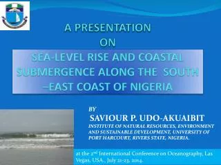
A PRESENTATION ON SEA-LEVEL RISE AND COASTAL SUBMERGENCE ALONG THE SOUTH –EAST COAST OF NIGERIA. BY SAVIOUR P. UDO-AKUAIBIT INSTITUTE OF NATURAL RESOURCES, ENVIRONMENT AND SUSTAINABLE DEVELOPMENT, UNIVERSITY OF PORT HARCOURT, RIVERS STATE, NIGERIA.

E N D
A PRESENTATION ONSEA-LEVEL RISE AND COASTAL SUBMERGENCE ALONG THE SOUTH –EAST COAST OF NIGERIA BYSAVIOUR P. UDO-AKUAIBITINSTITUTE OF NATURAL RESOURCES, ENVIRONMENT AND SUSTAINABLE DEVELOPMENT, UNIVERSITY OF PORT HARCOURT, RIVERS STATE, NIGERIA. atthe 2nd International Conference on Oceanography, Las Vegas, USA., July 21-23, 2014.
OUTLINE • INTRODUCTON • STUDY AREA&TECHNIQUES • RESULTS/DISCUSSION • SUMMARY • CONCLUSION
INTRODUCTION Coastal submergence and shoreline retreat are global problems which can be attributed to sea- level rise and climate change. These constitute a serious threat to shoreline management in the Niger Delta. This study is therefore aimed at analyzing shoreline recession as a result of sea level rise and also examines the impact on the strand coast, south eastern Nigeria.
STUDY AREA &TECHNIQUES Period Sept.28- October 6, 2013 Shoreline Mapping with GPS and camera. Wave breaker parameters Beach profile surveys
The 2002 And 2013 Editions Of The Shoreline Maps Of The Study Area
STUDY AREA Plate 1: Aerial photo of Qua-Iboe Estuary in 2002
Plate 2: Aerial photo of Qua-Iboe estuary showing areas of severe erosion in 2002
RESULT-ESTUARY: Current Velocities Fig.5.Estuarine current velocity:downdrift Fig.4.Estuarine current velocity-Updrift Fig.6.Average Flow Velocity:Estuaryupdrift Fig.7 Average Flow Velocity: Estuary Downdrift
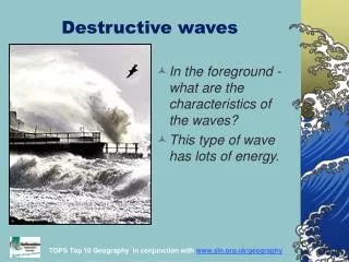
RESULT-SURF ZONE: UPDRIFT.ST.2-WAVE PARAMETER Plate 3.Wave breaker Height -Updrift Plate 4: Wave breaker Height- Downdrift.
RESULT-UPDRIFT:BEACH PROFILE Fig.14.Beach Profile: Updrift-Station 1 Fig.15. Beach Profile: Updrift Station 2 Plate6: Foreshore –Updrift Station 2 Plate 5:Backshore - Updrift Station 1
RESULT-DOWNDRIFT:BEACH PROFILE Fig.16.Beach Profile: Downdrift Station1 Fig17.Beach Profile: Downdrift-Station 2 Plate 7: Foreshore- Downdrift Station 1 Plate 8: Foreshore- Downdrift Station 2
HYDRODYNAMICS-EBB PHASE Plate 9. Offshore sand bar –Updrift.
SHORELINE MANAGEMENT ISSUES Plate 10 Stubb’s Creek sealed-up with sediment during storm surge in 2011 Plate 11: Foreshore trough at updrift beach Plate 13: Beach Transportation-Updrift Plate 13 shoreline retreat due to storm surge event at the updrift Plate 12: Eroded backshore at updrift beach
SHORELINE MANAGEMENT ISSUES Plate 15: Former ItakAbasi Health Centre damaged by storm surge in 2011 Plate 14:Former ItakAbasi primary School damaged by storm surge in 2011 Plate17: sediment accretion at downdrift beach Plate 16: Ibeno beach resort
SUMMARY This presentation has : • Noted shoreline retreat and coastal submergence around Qua-Iboe Estuary as impact of sea-level rise and climate change in Nigeria. • Considered integrated coastal zone management approach as essential in managing the shoreline retreat through intervention projects by both public and private sectors. • Considered regular beach nourishment as a proactive measure to prevent shoreline retreat
CONCLUSION • In conclusion,the coastal submergence and shoreline retreat along the south east coast of Nigeria which is attributed to sea-level rise related storm surge can be considered as a signature of climate change in Nigeria. Therefore, more attentions should be given and concerted effort made by the government and private sectors to reduce any anthropogenic activity which accelerate climate change and sea-level rise.
CONTRIBUTION TO KNOWLEDGE • The production of a recent shoreline map of the study area as a basis for assessment of sea-level rise along the strand coast of AkwaIbom State, South-eastern Nigeria.