Map Scale & Distance
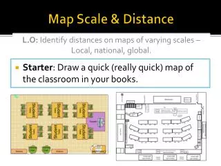
Map Scale & Distance. L.O: Identify distances on maps of varying scales – Local, national, global. Starter : Draw a quick (really quick) map of the classroom in your books. Distance – Large vs Small Scale. Maps are simply smaller drawings of any area.

Map Scale & Distance
E N D
Presentation Transcript
Map Scale & Distance L.O: Identify distances on maps of varying scales – Local, national, global. • Starter: Draw a quick (really quick) map of the classroom in your books.
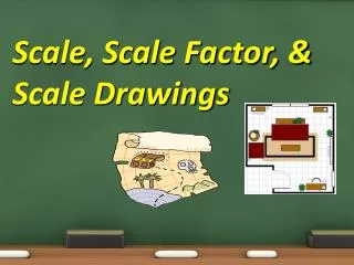
Distance – Large vs Small Scale • Maps are simply smaller drawings of any area. • They may be large or small scale maps • Large scale maps show things as being fairly large • Small scale maps are more zoomed out to show a large area. • For example…
Distance - Scales • Maps are made as small representations of what we can see • Scale drawing allows us to draw large objects on a smaller scale while keeping them accurate. • All scale drawings musthave a scale written on them. Scales are usually expressed as ratios. • Example: 1cm : 1km • The ratio 1cm:1km means that for every 1cm on the scale drawing the length will be 1km in real life
Distance - Scales • Maps will always have a scale as a ratio as explained, and usually also have a linear scale for use to measure from. • To use this linear scale, place a piece of paper on the map and mark point A and point B, then work out distance on the scale. • For curves you can use a piece of string. • Complete the Europe distance worksheet
L/O: Identify distances on maps of varying scales – Local, national, global. • Where are we on our progress line? • How much progress have you made? I fully understand the LO I’m not really sure what the LO is about
Homework • Using ‘Google Earth’ calculate the following: • Distance from your house to ACS Cobham in a straight line • The distance using roads (indirect). • You will need to do this on a PC as the iPad app doesn’t allow for route marking.