Download
1 / 65
650 likes | 805 Views
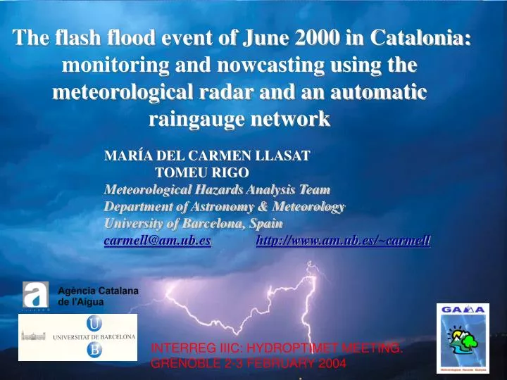
The flash flood event of June 2000 in Catalonia: monitoring and nowcasting using the meteorological radar and an automatic raingauge network. MARÍA DEL CARMEN LLASAT TOMEU RIGO Meteorological Hazards Analysis Team Department of Astronomy & Meteorology University of Barcelona, Spain

E N D
The flash flood event of June 2000 in Catalonia: monitoring and nowcasting using the meteorological radar and an automatic raingauge network MARÍA DEL CARMEN LLASAT TOMEU RIGO Meteorological Hazards Analysis Team Department of Astronomy & Meteorology University of Barcelona, Spain carmell@am.ub.eshttp://www.am.ub.es/~carmell INTERREG IIIC: HYDROPTIMET MEETING. GRENOBLE 2-3 FEBRUARY 2004
A short diagnosis of the event During the early morning of 10 June 2000 there occurred a heavy rainfall event over Catalonia (NE of Spain) that caused material damages estimated at over 65,000,000 euros and there were 5 fatalities.
Location of the event The affected region is placed at NE of the Spain. It is named Internal Basins of Catalonia and it consists of 4 larger basins (Ter, Besos, Llobregat and Francoli) and other smaller ones.
Data Raingauge data in surface Radar imagery Radiosoundings of Barcelona and Palma Mallorca Synoptic analysis Mesoscale analysis Acknowledgements for the data: Agencia Catalana de l’Aigua, Instituto Nacional de Meteorología, Servei de Meteorologia de Catalunya Our special acknowledgement to E. Velasco (ACA) and P. Martín (INM) for their collaboration
* Rain gauge White area: IBC The raingauge network The SAIH system of the IBC covers an area of 16000 km2. The rainfall network is composed by 126 tipping-bucketautomatic rain gauges. The precipitation is cumulated and recorded every 5 minutes. Rainfall overturning of 0.1 mm.
The meteorological radar Placed over the Puig de les Agulles (20 km at SW of Barcelona) at 612 m asl. It belongs to the INM radar network and operates in the C-band.
Total Cumulated Rainfall The 94% of the rainfall gauges of the IBC registered a cumulated rainfall above 15 mm in 24 hours. A lot of 24 hours maximum rainfall values exceeding the 100 mm were recorded in many gauges of the Llobregat Basin and other minor basins. • Some examples of maximum values registered are: • 223 mm in 24 hours • 158 mm in 3 hours • 13.2 mm in 5 minutes 21:00 UTC 9 June- 21:00 UTC 10 June
Rainfall Rate and Time Evolution The maximum 5-minutal rainfall value (13.2 mm) is equivalent to 154.8 mm in only one hour. The rainfall event started at the Southern Basins at 21:30 UTC as a consequence of the pass of a quasi-stationary rainfall band, that remained over the same place for about 2 hours.
Synoptic Evolution • On 10 June at 0000 UTC: • Previously: anticyclonic situation, warm and very wet advection in low levels, great potential instability • the cold front was situated around the west of Catalonia. • in the previous few hours to the event, a surface depression (1008 hPa) had been forming, centred on the Balearic Islands. • the flow from the west that dominated most of the Peninsula at 850 hPa had been veering, so that by that time it was coming mainly from the north and had advected very cold air that extended right to the upper troposphere
The day of the floods: 10 June (00 UTC) Barcelona Palma Madrid Murcia
Cross sections 10/06/00 00 UTC 12 UTC LISBOA- MADRID- MURCIA-BARCELONA-PALMA-CAGLIARI pep
Mesoscale analysis It showed a conjunction of the following factors: 1. Mesoscalar depression at surface. It led to the convergence of water vapour at low levels and played a direct role in triggering the potential instability cumulated previously • 2. the existence of a line of convergence, which advance over Catalonia along a SW-NE axis, with the slow movement of the depression. The squall lines were formed near of it. L