Download
1 / 19
190 likes | 381 Views
Water Year 2009 Forecast Review: Upper Colorado River Basin. CRFS November 19, 2009. Colorado River near Cameo. Colorado River above Cameo (>20 years POR), missing Schofield/Fremont Pass. 2914 kAF / 120%. r=routed with upstream preferred. Colorado – Cameo, Nr (CAMC2).

E N D
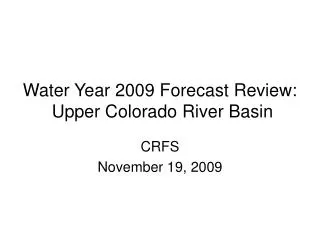
Water Year 2009 Forecast Review: Upper Colorado River Basin CRFS November 19, 2009
Colorado River above Cameo(>20 years POR), missing Schofield/Fremont Pass
2914 kAF / 120% r=routed with upstream preferred
Colorado – Cameo, Nr (CAMC2) Streamflow Scatterplot ~ 1991-2009 ~ Coordinated Forecast January April June
Gunnison R. Inflow to Blue Mesa(>20 years POR), missing Schofield
Blue Mesa Reservoir Inflow High inflows continue caused by rain and very high freezing levels. Two periods of warm temperatures Several weeks of above 32 degree minimum temperatures begin 4/1 5/1 6/1 Porphyry Creek Precipitation - Accumulation Month long dry period begins Month long dry period ends. Start of wet pattern with above 32 degree temperatures. 4” SWE storm 4/1 5/1 6/1 Porphyry Creek Temperature - Instantaneous Max means 32.0 Min means Elevation: 10,760
Gunnison – Blue Mesa Reservoir (BMDC2) Streamflow Scatterplot ~ 1991-2009 ~ Coordinated Forecast April January June
110 kAF / 107% 114 kAF / 112% 99 kAF / 99% 254 kAF / 79%
Average June precipitation is just 0.9” – not a significant contributor to the water year total, compared with Dec-Mar which average ~2” each.
San Juan R. Inflow to Navajo(>20 years POR) More than half of last year’s peak SWE amount was on the ground before the end of December.
San Juan – Navajo Reservoir (NVRN5) Streamflow Scatterplot ~ 1991-2009 ~ Coordinated Forecast January April June
184 kAF / 90% 46 kAF / 79% 407 kAF / 93%