TAWS
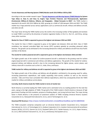
TAWS. TAWS. Divides the world into small squares Stored in database is highest elevation in each square Compares GPS-derived position and GPS-altitude with model of the world to determine terrain and obstacle (buildings or antennas) threats. +2000’. +1000’. -500’. -1000’. -2000’.


TAWS
E N D
Presentation Transcript
TAWS • Divides the world into small squares • Stored in database is highest elevation in each square • Compares GPS-derived position and GPS-altitude with model of the world to determine terrain and obstacle (buildings or antennas) threats
+2000’ +1000’ -500’ -1000’ -2000’
“CAUTION TERRAIN” 45-60 Seconds
“PULL UP! TERRAIN TERRAIN!” 30 Seconds
MFD TAWS Page Highest (2000’ MSL) and lowest (1300’ MSL) altitudes being drawn at selected range • GPS Derived Altitude • May be off by 100’-200’ • Not affected by temperature- caused altimeter errors • Not affected by Pitot- Static malfunctions
TAWS Activation Procedure • Aural “SINK RATE”/ “DON’T SINK”/ “OBSTACLE AHEAD” Warning/ Amber TERR CAUT Annunciation • Take positive corrective action until the alert ceases. Stop descending, or initiate a climb turn as necessary, based on analysis of all available instruments and information. • Aural “PULL UP” Warning/ Red TERR WARN Annunciation • Level the wings, simultaneously adding full power. • Increase pitch attitude to 15 degrees nose up. • Adjust pitch attitude to ensure terrain clearance while respecting stall warning. If flaps are extended, retract flaps to the UP position. • Continue climb at best angle of climb speed (Vx) until terrain clearance is assured. • Only vertical maneuvers are recommended responses to warnings and alerts unless operating in VMC or the pilot determines, using all available information and instruments, that a turn, in addition to the vertical escape maneuver, is the safest course of action. • Pilots are authorized to deviate from their current air traffic control (ATC) clearance to the extent necessary to comply with a TAWS warning.