Download
1 / 10
100 likes | 286 Views
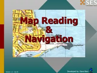
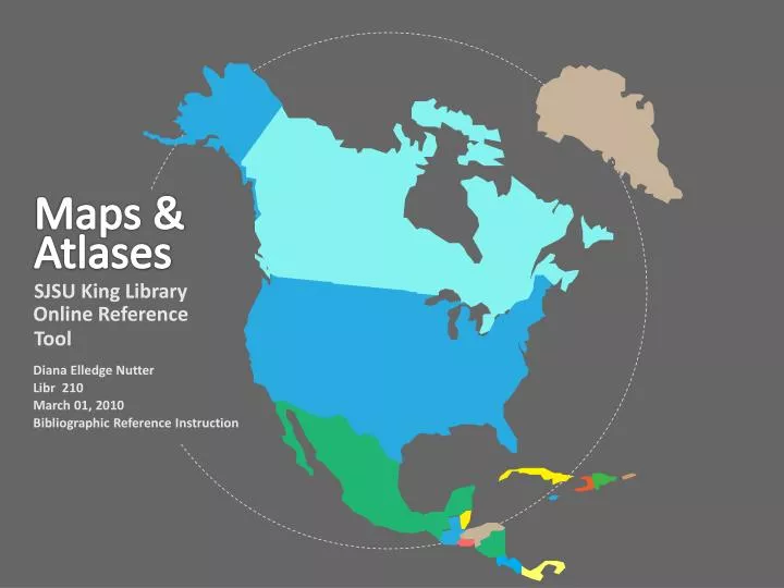
Maps &. Atlases. SJSU King Library. Online Reference. Tool. Diana Elledge Nutter Libr 210 March 01, 2010 Bibliographic Reference Instruction. What Are Maps & Atlases?. Maps: Visual representations of data within a geographic area or within a spatial boundary

E N D
Maps & Atlases SJSU King Library Online Reference Tool Diana Elledge Nutter Libr 210 March 01, 2010 Bibliographic Reference Instruction
What Are Maps & Atlases? • Maps: Visual representations of data within a geographic area or within a spatial boundary • Atlases: A series of maps organized underneath a common theme
Maps & Atlases as Reference Tools • Discover specific geographic data • Correlate information according to its spatial relationship • Historical Reference • Reference the political boundaries & statistical data at a point in time • Reference the contemporary geographic understanding at a point in time
Online Resources • American Memory Map Collections • David Rumsey Historical Map Collection • National Geographic MapMachine • USGS National Map • Sanborn Maps • U.S. Census Bureau Maps and Cartographic Resources
Examples of Resource Contents • Digitalized Indexes of Historical Collections • Atlases by Region or Political Boundaries • Maritime Maps and Celestial Charts • USGS National Map • Cultural Demographics • U.S. Census Bureau Data and USGS Topographical Maps
David Rumsey Map Collection • 150,000 Maps, 21,000 Digitized • High-Res Scans, Digital Recreations • Funded by Cartography Associates • Focuses on 18th/19th Century & North and South American Prints • Free, Open for Public Viewing
David Rumsey Collection (cont.) How To Use The Collection • Search: Keyword, Location, Type, Cartographer, Publisher, Date • Browse: Who / What / Where / When • Collections & Media Groups • Viewers: Luna / Google Earth & Maps 2D & 3D GIS / Java Client / Second Life • Download under Creative Commons • Free (with prints sold)
USGS National Map • Interactive geospatial information engine (what does that mean?) • Uses orthoimagery, elevation, locations, boundaries, and structures • Displays real time / historical overlays • Recreation / construction / scientific analysis / emergency response • USGS / State & Federal Partners
USGS National Map (cont.) How To Use The Collection • Search: Index of Locations & Cities, Monuments, Political Boundaries • Browse: Points of Interest, Geo Locate • Overlays: Government Data / Custom • Viewers: Interactive Beta Viewer / Toggle Map Types / 3D Maps • Download Data / Topographical Maps • Free basic use / Premium Services
References • David Rumsey Historical Map Collection (2010) Retrieved February 21, 2010 from http://www.davidrumsey.com/about • David Rumsey Collection: View the Collection (2010) Retrieved February 21, 2010 from http://www.davidrumsey.com/luna/servlet/view/all?sort=Pub_List_No_InitialSort%2CPub_Date%2CPub_List_No% 2CSeries_No • Luna Commons (2010) Retrieved February 21, 2010 from http://www.lunaimaging.com/community/index.html • Maps and Atlases - Online Reference Tools (n.d.) Retrieved February 16, 2010 from http://libguides.sjsu.edu/content.php?pid=57995&sid=441684 • The National Map (2010) Retrieved February 23, 2010 from http://nationalmap.gov/ • National Spatial Data Infrastructure -- Federal Geographic Data Committee (2010) Retrieved February 23, 2010 from http://www.fgdc.gov/nsdi/nsdi.html