Download
1 / 22
220 likes | 461 Views
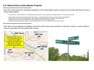
U.S. National Grid. Objectives. In this lesson you will learn how to: Understand and read USNG coordinates Identify locations by using grid coordinates Relay grid coordinates in reference to a given location. Background.

E N D
Objectives In this lesson you will learn how to: • Understand and read USNG coordinates • Identify locations by usinggrid coordinates • Relay grid coordinates in reference to a given location
Background The USNG ensures a uniform grid mapping system across cities and counties in Florida and can be easily extended world-wide as a grid reference system. Additional information about the USNG can be found at: www.fgdc.gov/usng
Features of the USNG USNG expands the utility of street and other mapsby adding the following commanding features: • Provides a grid reference system that is seamless across jurisdictional boundaries • Is the foundation for a universal map index • Describes point locations on appropriately gridded paper and digital maps • Allows geo-positioning using Global Positioning System (GPS) receivers • Supports World Wide Web map portals that link digital maps and GPS data
Longitude and Latitude Using longitude and latitude can be confusing because different agencies cite different coordinates to identify the same location. All of the longitude and latitude coordinatesbelow describe the same location: • DD -85.990151, 30.272240 • DM -85 59.409089, 30.16.334386 • DMS 85 59’24.545”W, 30 16’20.063”N
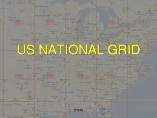
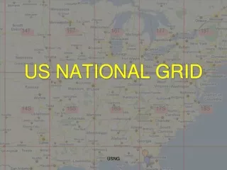
USNG Overlay As a responder, you may be given a map or an aerial photograph of the response area with a USNG overlay.
USNG Coordinates The first step in reading a USNG map is to understand the letters and numbers that make up a grid coordinate.
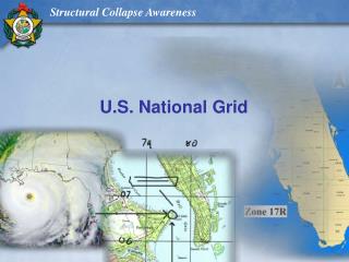
Grid Zone Designation 17R LL 573 918 The 17R is the Grid Zone Designation (GZD) for aworld-wide unique address.
Meter Square Identification 17R LL 573 918 The LL is the 100,000 Meter Square Identification for regional areas.
Easting and NorthingGrid Coordinates 17R LL 573 918 The numbers 573 918 are the Easting and Northing coordinates of a specific location.
Easting and NorthingNumber of Digits The more digits used, the smaller the grid coordinates and the more accurate the location. • 57323 91820 10 digits locates the area within a 1 x 1 meter square • 5732 9182 8 digits locates the area within a 10 x 10 meter square • 573 918 6 digits locates the area within a 100 x 100 meter square • 57 91 4 digits locates the area within a 1000 x 1000 meter square
Knowledge Check Given the coordinates 17R NN 17938 01505 what is the 100,000 Meter Square Identification for regional areas? • 17R • 17R NN • NN • 17938 01505
Knowledge Check You are responding to an area flooded by the storm surge during Hurricane Michael, and were given the coordinates 6612 5811. What size area will you be able to locate with these coordinates? • 1 x 1 meters • 10 x 10 meters • 100 x 100 meters • 1000 x 1000 meters
Knowledge Check You are given the coordinates of a rescue team on-scene as 507 030. Find and mark this location on the map.
Knowledge Check (Answer) You are given the coordinates of a rescue team on-scene as 507 030. Find and mark this location on the map.
Knowledge Check This map is labeled with points A and B. Identify the coordinates for the location of Point A, your location. • 572 914 • 571 913 • 913 571 • 914 572
Knowledge Check (Answer) This map is labeled with points A and B. Identify the coordinates for the location of Point A, your location. • 572 914 • 571 913 • 913 571 • 914 572
Knowledge Check A nearby rescue crew has located additional victims needing immediate attention. Your crew has been asked to report to the other crew’s location at Point B. Identify the coordinates in which you’ve been asked to report. • 578 915 • 578 921 • 917 578 • 577 917
Knowledge Check (Answer) • A nearby rescue crew has located additional victims needing immediate attention. Your crew has been asked to report to the other crew’s location at Point B. Identify the coordinates in which you’ve been asked to report. • 578 915 • 578 921 • 917 578 • 577 917
Summary In this lesson, you have learned: • Why the U.S. National Grid (USNG) was developed • How to find a location withina devastated area if giventhe USNG coordinate • How to read a USNG to find and relay the grid coordinate for a location