Download
1 / 32
320 likes | 531 Views
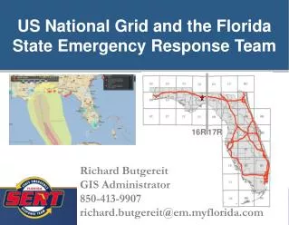
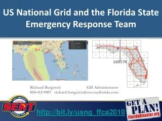
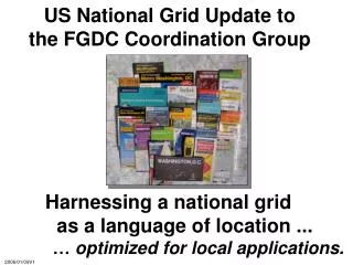
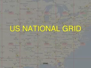
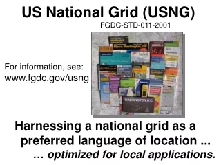
US NATIONAL GRID. United States National Grid. Lessons learned have taught us that standardized grids are needed for positional reporting. As far back as Hurricane Andrew, problems were recognized for emergency managers. What’s wrong with current systems?. We already have…

E N D
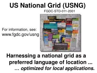
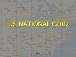
US NATIONAL GRID USNG
United States National Grid Lessons learned have taught us that standardized grids are needed for positional reporting. As far back as Hurricane Andrew, problems were recognized for emergency managers... USNG
What’s wrong with current systems? We already have… Latitude/Longitude Township/Range/Section Street Address and Zip UTM USNG
Latitude/Longitude Multiple formats are confusing DD -85.990151, 30.272240 DM -85 59.409089, 30.16.334386 DMS 85 59’24.545”W, 3020.063”N All the same location!!! USNG
How far is a second anyway? What is the distance from…. 85 59’24.545”W, 30 16’20.063”N To here…. 85 59’26.292”W, 30 16’14.546”N USNG
Worse yet… What is the distance from -85.990443, 30.275358 To here…. 85 59.364547, 30 16.504539 USNG
Township/Range/Section Township/Range/Section grid from the Public Lands Survey System is an important and good system… basis of land ownership records been in use for over 180 years USNG
Township/Range/Section But a perfect section really doesn’t exist irregular in coastal areas too large to meet needs of ground crews USNG
Street Address and Zip Problematic due to… rural routes post office boxes USNG
Anatomy of a USNG Coordinate 100,000m Square Grid Coordinate 17R NJ 7263 6578 Grid Zone Designator Easting Northing USNG
17R Grid Zone Designator 6 Degrees X 8 Degrees USNG
17R NJ 100,000m grids USNG
1,000m Grids RIGHT UP USNG
17R NJ 65 72 1,000m Grids 4 DIGIT 1,000m UP RIGHT USNG
17R NJ 65 72 UP 0 RIGHT USNG
17R NJ 65 72 0 USNG
17R NJ 65 7 72 6 6 DIGIT 100 meter RIGHT UP 0 USNG
17R NJ 65 72 100 UNITS 0 USNG 10 UNITS
17R NJ 65 74 72 63 8 DIGIT 10 meter RIGHT UP 0 USNG
Review • Grid Zone 17R • 100,000m 17R NJ • 4 digit = 1,000m 17R NJ 72 65 • 6 digit = 100m 17R NJ 726 657 • 8 digit = 10m 17R NJ 7262 6578 • RIGHT (Easting) - UP (Northing) USNG
Practical Exercise USNG
Read right, and up. Building at grid: 145 100 USNG Ex 1 ppt
ppt Building at grid: 1282 1122 USNG Ex 1
Read right, and up. ppt Building at grid: 1210 1109 USNG Ex 2
Read right, and up. ppt Road Intersection at grid: 1318 0978 USNG Ex 3
Read right, and up. ppt Building at grid: 1448 0992 USNG Ex 4
ppt Building at grid: 1215 0924 USNG Ex 5
Practical Exercise(Camp Blanding Map) • Locate the 8 digit coordinate for the 7 points on your map
17R MP 05361516 17R MP 04521665 17R MP 04731701 17R MP 05211585 17R MP 05401551 17R MP 06321356 17R MP 04821445 USNG