Download
1 / 15
200 likes | 268 Views
Explore Nature Based Solutions to enhance groundwater-related ecosystem services in Medina del Campo, Spain. This project evaluates NBS effectiveness, aquifer behavior, and climate scenarios for sustainable resource management.

E N D
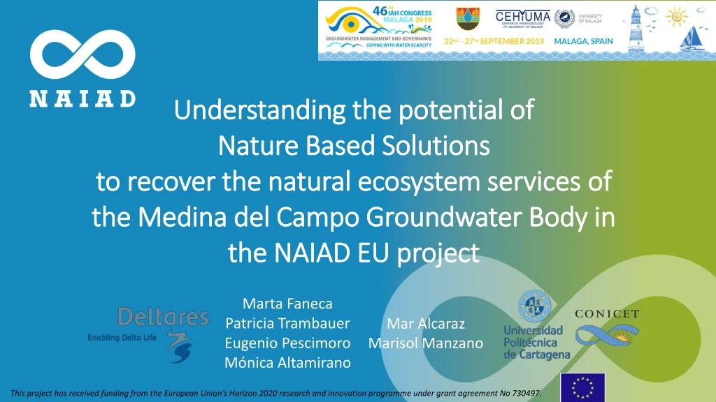
Understanding the potential of Nature Based Solutions to recover the natural ecosystem services of the Medina del Campo Groundwater Body in the NAIAD EU project Marta Faneca Patricia Trambauer Eugenio Pescimoro Mónica Altamirano Mar Alcaraz Marisol Manzano This project has received funding from the European Union’s Horizon 2020 research and innovation programme under grant agreement No 730497.
INTRODUCTION AND OBJECTIVES MATERIALS AND METHODS - Study Area - Domain and Geology - Spatial and temporal discretization - Initial and Boundary Conditions - Recharge and Abstractions - Calibration: Hydraulic conductivity and storage coefficient - Simulated scenarios RESULTS - Head evolution - Wetlands surface evolution CONCLUSIONS This project has received funding from the European Union’s Horizon 2020 research and innovation programme under grant agreement No 730497.
INTRODUCTION AND OBJECTIVES • The aim of the NAIAD H2020 project is to operationalisethe insurance value of ecosystems to reduce the human and economic cost of risks associated with water (floods and drought). • One of the main subjects considered is the effectiveness of Nature Based Solutions (NBS) to increase human and other ecosystems resilience. • Thisworkispart of the authorscontribution to NAIAD, wherewe are analysing the role of • groundwater-relatedecosystemservicesfordrought-hazardmitigation and to supportgroundwaterdependentsurfaceecosystems in a context of increasingclimaticvariability and testingdifferentmanagementstrategies. • OBJECTIVES OF THIS WORK • To gain knowledge on the main (Tertiary) aquifer behavior. • To gain knowledge on the effectiveness of different climate scenarios and several NBS on the evolution of groundwater-related ecosystem services such as Provision of water for irrigation and Regulation and maintenance of streams and wetlands, through the simulation of piezometric levels and wetlands surface future evolution. This project has received funding from the European Union’s Horizon 2020 research and innovation programme under grant agreement No 730497.
MATERIALS AND METHODS: Study area • The Medina del Campo GroundwaterBody (MCGB, Duero RiverBasin, Spain) isone of the NAIAD demo areas. • The MCGB coversanimportantagriculturalregion in central-NE Spain. Groundwaterprovidesmanyecosystemservices: • Itis the mainwatersourceforirrigation and to supplysmalltowns, and itsupportsmanygroundwater-dependentsurfaceecosystems(wetlandsand permanentstreams). • Intensiveexploitationstarting in the late 1970’s lead to severe piezometric drawdown of up to 20 m, whichinducedwellsabandonment and reduceddischargeto groundwater-dependentsurfaceecosystems. Duero River
MATERIALS AND METHODS: Domain and Geology WMS: http://mapas.igme.es/gis/services Name: eWater/UnifiedLegendMap_Hydro1M Los Arenales GB Tierra del Vino GB • Numericmethod: Finitedifference • Numerical software: MODFLOW • Interface: (iMOD – Deltares) Medina del Campo GB • Domain: 8809 km2 • MCGB area: 3941 km2 • The domainenclosescompletelythe Los Arenales and the Tierra del Vino groundwaterbodies, to define properlyhydraulicboundary conditions. Geological zonation • Themain regional and semi-confinedaquiferisformedby a tickaccumulation (100 to > 500 m) ofTertiary fine-sizedalluvial, eolian and lacustrinesediments. MdC GB Hydrogeologicalmaps, IGME 1:200.000
Initialconditions Steadystate in natural regime(beforeabstractionsintensification) MATERIALS AND METHODS: Spatial and temporal discretization • Spatialdiscretization: 500x500 m cells • Meshsize: 312 columns x 213 rows • Temporal discretization: annual • Period: 1950-2350 • Vertical discretization: • 3 layers: • Lyr 1: Water table aquifer • Lyr 2: Aquitard • Lyr 3: Semi-confinedaquifer Boundaryconditions No flowboundaryconditionoveralmost the wholedomain. Exception: inflowisimposedin the southernboundary on the thirdlayer. Aquiferbasement: up to 1000 m depthunderthe Duero River: 0 – 15 m 15 – 50 m 50 m to basement Lateral inflow
MATERIALS AND METHODS: RechargeAbstractions Precipitation (mm/year) 900 180 • Spatialvariation of averageprecipitation(www.chduero.es) • Rechargeestimationsfrom a tritium balance in groundwater in the 2000’s (Plata et al., 2006): • Rechargeisaround 6% of total precipitation. • Estimationsof the Duero RiverBasin Water Authority (CHD) suggestsevenlowervalues. • Total authorizedabstractions: 1.3 hm3/day, fromsome 20.000 wells. • In the MCGB: 0.7 hm3/day, fromsome 5700 wells. • High uncertaintyaboutpumpeddepth and temporal evolution of flowrates, due to: • Generalizedlegalization of existingwells in 1988. • Progressive abandonment of dried up wells in the 1990’s. Plata Bedmar, A.; Pérez Zabaleta, E., Moreno Sánchez, J. (2006) Evaluación de la recarga moderna de la unidad hidrogeológica Los Arenales usando técnicas isotrópicas.
MATERIALS AND METHODS: Calibration -Hydraulic conductivity and storage coefficient 67 observationpoints * Agreementwithvaluesobtainedfromhydraulictests in PIAS (1978) ZonationforKh
MATERIALS AND METHODS: Simulated scenarios Groundwatermanagement * Climatescenarios How are expectedtoevolvethepiezometriclevelsunderthesescenarios? And the wetlandssurface? ExploitationIndex (EI): Groundwaterabstracted Total recharge EI = * Management scenariosincludeseveralNBSsproposedbystakeholdersand the Basin Water Authority, such as: - movingto lesswaterdemandingcrops, - subsitutinggroundwaterbysurfacewaterforirrigation - others
Results – Heads evolution with respect to 2018 Groundwatermanagement Climatescenarios Well151770001
Results – Wetlands surface evolution 2350 2050 Notmodelled 25% 1950 (Modeled) natural state 2018 (Modeled) a0 EI=1.65 1.915 ha 31% 33% 100% 51% a1 EI=0.85 a1 EI=0.85 7.600 ha 2.413 ha 2.505 ha 3.923 ha Climatescenarios Groundwatermanagement 97% 38% a2 EI=0.0 a2 EI=0.0 7.438 ha 2.885 ha
SOME CONCLUSIONS • In themediumterm (2050): • The effect of climateand managementscenariosisirrelevant. • Thereis no significantrecoveryofheads and ofsurfaceofwetlandsareas. • In the longterm (2350): • Climatescenarios are slightlyrelevant. • Management scenarioshavegreaterinfluence: • For EI=0.85, itwouldtakesome 2025 years to recover the piezometric heads and wetlandareas to the natural state. • For EI=0.0, piezometric heads and wetlandareaswouldrecover after 300 years. • As relates to aquifer and to groundwater-relatedecosystemservicesrecovering, any NBS strategywill be effectiveenoughifnotaccompaniedby a soundreduction of groundwaterexploitation. This project has received funding from the European Union’s Horizon 2020 research and innovation programme under grant agreement No 730497.
Thanks for your attention Málaga, September 23th 2019 This project has received funding from the European Union’s Horizon 2020 research and innovation programme under grant agreement No 730497.