Download
1 / 14
150 likes | 405 Views
Seeing the World Like a Geographer. World Geography. The Geographic Setting. Thematic maps are all around us Weather map, bus route, mall map Show info about some aspect of physical or human geography. Thematic Map Can Show Physical Geography.

E N D
Seeing the World Like a Geographer World Geography
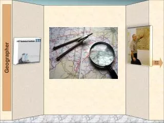
The Geographic Setting • Thematic maps are all around us • Weather map, bus route, mall map • Show info about some aspect of physical or human geography
Thematic Map Can Show Physical Geography • Physical Features – the natural parts of Earth’s surface • Landforms – mountains, valleys, plains, plateaus
Thematic Map Can Show Physical Geography • Climate – long term weather patterns – rainfall, temperature • Vegetation – trees and other plants that grow in an area
Thematic Maps Can Show Human Geography • Political map – boarders of countries • Population density map – average number of people living in a unit of area – sq mile
Thematic Maps Can Show Human Geography • Economic activity map – ways people produce, buy and sell goods and services • Natural resources – useful items found in nature
A Map’s Title and Legend State Its Theme • First look at the title • Map legend to determine how to read it - colors
Physical Features Basin - a large or small depression in the surface of the land or in the ocean floor Bay - an area of water mostly surrounded or otherwise separated or limited by land.
Physical Features Delta - area where a river divides before entering a larger body of water Gulf - a large bay that is an arm of an ocean or sea
Physical Features Isthmus – is a narrow strip of land connecting two larger land areas usually with waterforms on either side Lake - a body of liquid on the surface of a world that is localized to the bottom of a basin
Physical Features Mountain range -a single, large mass consisting of a succession of mountains, closely related in position, direction, formation, and age. Peninsula - is a piece of land that is surrounded by water but connected to mainland via an isthmus. • is a piece of land that is surrounded by water but connected to mainland via an isthmus.
Physical Features Plain – is land with relatively low relief, that is flat or gently rolling. Plateau - is an area of highland, usually consisting of relatively flat terrain.
Physical Features River – is a natural watercourse, usually freshwater, flowing toward an ocean, a lake, a sea, or another river. Strait - is a narrow, navigable channel of water that connects two larger navigable bodies of water.
Physical Features • End.