Download
1 / 12
120 likes | 143 Views
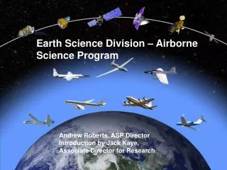
NASA Science Mission Directorate, Earth Science Division, Airborne Science Program Overview June 2019 Bruce Tagg , Director. Airborne Platforms Provide Opportunities To Study the Earth System and its Components.

E N D
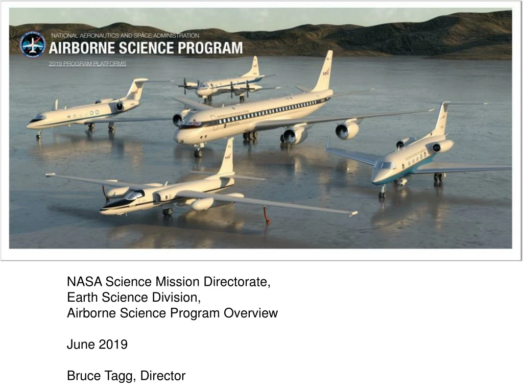
NASA Science Mission Directorate, Earth Science Division, Airborne Science Program Overview June 2019 Bruce Tagg, Director
Airborne Platforms Provide Opportunities To Study the Earth System and its Components • Help bridge scales between the (typically) global scales of satellite observations and the very local observations of surface-based in situ measurements. • Way of doing comprehensive process-oriented studies that can focus on specific regions and times of interest. • Initial sense about Earth system parameters and their variability before satellite observations are possible. • Focused calibration/validation observations (e.g., coincident measurements) for satellite remote sensing. • Opportunities to test new instrumentation in an environment that can provide some similarities to space-based platforms/viewing. • Targeted observations when needed for applications (e.g., disaster response). • Opportunities for training of investigators who see through all phases of a project (instrument development, operation/use, analysis/interpretation, results dissemination, public communication). 2 Tagg
NASA Airborne Science Program • Provides airborne capability to meet Earth Science requirements utilizing NASA, OGA, and commercial platforms • Capability maintained/added/removed based upon budgets and requirements • Requirements vetted yearly • Actively looking for options • https://airbornescience.nasa.gov/ • Responsive to Earth Science airborne platform requirements • Over 300 airborne instruments and counting…. • Over 3100 Earth Science flight hours in FY18
Earth Science RequirementsPlatform performance required/desired from science community • Earth Science Focus Areas • Atmospheric Composition • Carbon Cycle and Ecosystems • Climate Variability and Change • Earth Surface and Interior • Water and Energy Cycle • Weather • currently require this region of the atmosphere for the majority of their data collection needs Focus Areas would like this region and more (i.e 7 to 10 day duration) for advanced and longer duration measurements Bottom Line – cost effective data collection from 500 - 70kft and from 2 - 30 plus hours and beyond (7 to 10 days)
NASA ESD Core Funded Aircraft WFF JSC AFRC 80000 ER-2 70000 60000 G-V 50000 C-20/GIII DC-8 Altitude (feet) 40000 30000 P-3 P-3 20000 10000 0 1000 2000 3000 4000 5000 >6000 Range (nm)
Recent Accomplishments(as of May 2019) • Hours Flown –over 3800 in FY17, over 3100 in FY18 • Completed Major Campaigns • Operation IceBridge: Antarctic and Arctic deployments • GV first science: SWOT and GEDI cal/val • EVS-2: Act-America, ATom, OMG, ORACLES • Aeolus cal/val • ABoVE continuity • Long Island Sound Tropospheric Ozone Study • HyspIRI CA and Hawaii • GLiHT Forest Health • Kilauea Response • ACEPOL • Airborne Snow Observatory • Multiple UAVSAR ESI investigations • SARP • Major Platform Updates • GV completed two missions, two upcoming • Acquired GIII, mods ongoing • C-20A maintenance • ER-2 CARE ongoing ATOM Science Team G-V and team in Houston DC-8 Antarctic Flights 2018 P-3 on the tarmac in Fairbanks ER-2 in Hawaii for Hyspiri/HyTES P-3 in São Tomé for ORACLES
ASP Airborne Campaigns 2014-2018 • • • • • • • • • • • • • • Alaska • • • • • • • • • • • • • Canada • • • • • • • • • • • • • • • • • • • • • • • • • • • • • • • • • • Hawaii • • • • • • • • • • • • Guam • • • • • • • Australia 2018 New Zealand • • 2017 • 2016 Antarctica 2015 2014
2005-2018 Airborne Campaigns Svalbard, Norway • Thule, Greenland • • Greenland Barrow, AK • Kiruna, Sweden • Alaska Fairbanks, AK • Stavanger, Norway Yellowknife • • Iceland Cold Lake • • Anchorage, AK Saskatoon Canada Goose Bay • Mindenhall, England • • Surprise Valley, NV Japan • Portsmouth, NH • ARC • • Ponca City, OK • WFF Wallops, VA South Korea • • AFRC • LaRC Edwards, CA Warner Robins, GA • JSC • • Palmdale, CA • Key West, FL •u Houston, TX Honolulu, HI Ft. Lauderdale, FL • • • Kona, HI Vera Cruz, Mexico • Hawaii Thailand • • Guam Sal Island, Cape Verde • • • Guam San Jose, Costa Rica Coimbatore, India Panama Singapore Ecuador Gabon Papeete, French Polynesia Darwin, Australia • Namibia Calendar Year 2005 2006 2007 2008 2009 2010 2011 2012 2013 2014 2015 2016 2017 2018 Argentina Australia Chile New Zealand New Zealand • Punta Arenas, Chile Antarctica Antarctica
Airborne Science Program Online Resources • Airborne Science asset details and schedules are available online at: • https://airbornescience.nasa.gov • Aircraft cost estimates and flight hours can be requested using the online flight request system: • https://airbornescience.nasa.gov/sofrs/ Tagg
MISSION TOOLS SUITE (MTS) • Tactical decision-making and distributed team situational awareness • Real time position and instrument telemetry ingest and visualization for single- and multi-asset campaigns • Access to low latency satellite, radar, global lightning and other meteorological and mission products • Communication and collaboration tools including document sharing and turn-key chat solutions • Satellite pass prediction and swath visualization • Mission operation and planning tools Project Lead: Aaron R. Duley, Ph.D. NASA Airborne Science Program Ames Research Center, Moffett Field, CA For more information visit: https://mts.nasa.gov
ACRONYMS ABOVE – NASA Arctic Vulnerability Experiment ACEPOL – Aersol Characterization from Polarimeter and LIDAR ACT-America – Atmospheric Carbon Transport (EVS-2) ATOM – NASA Atmospheric Tomography Mission (EVS-2) ASP – NASA Airborne Science Program EO - Earth Observation ESI – Earth Surface and Interior EVS – NASA Earth Venture Suborbital Mission GEDI – Global Ecosystem Dynamics Investigation GLiHT – Goddard’s LIDAR, Hyperspectral and Thermal Imager GV – Gulfstream V LIDAR – Light Detection and Ranging MTS – Mission Tools Suite OGA – Other Government Agency OMG – Oceans Melting Glaciers (EVS-2) ORACLES – Observations of Clouds above Aerosols and their Interactions SARP – Student Airborne Research Program SWOT – NASA Surface Water Ocean Topography satellite mission UAVSAR – NASA JPL unmanned aerial vehicle synthetic aperture radar Tagg