Download
1 / 35
350 likes | 373 Views
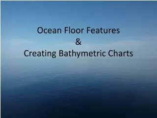
This concise guide provides step-by-step instructions on bathymetric mapping, covering preparations, data collection techniques, analysis methods, and statistical calculations. From gathering depth finders to analyzing point, TIN, and raster data, to generating contour maps and conducting statistical calculations, the process is made accessible and manageable. The final statistical results showcase the practical applications of a comprehensive mapping approach. Special recognitions are given to individuals contributing to the success of the project. Whether for learning, curiosity, or future projects, this guide offers valuable insights into creating bathymetric maps. Thank you for your interest.

E N D
Required Steps • Preparations • Data Collection • Point Data • Tin Data • Raster Data • Contour Map • Statistic Calculations
Preparations. I will need to gather the following items. Depth Finders
Preparations. Data collection
Preparations. For winter data collection.
Preparations. Analyizing
Statistic Calculations. 1.) Total Volume 2.) Convert necessary units 3.) Hypsographic Curve 4.) Turn Over Time
Final Statistics. • Acre Feet = 88.84 • Total Volume = 109,586.24m3 • Turn Over Time ~ 7 Days
Why make a map of the Fall Creek Pond? 1.) Learning. 2.) Curiosity. 3.) Later Projects.
Special Recognitions Mr. Paul Tweed – With everything from Project Ideas, Getting Comfortable with the Software, Data Collection, and Final Analysis. Mr. Peter Kofman – Anti-Procrastination Robot Mr. Will Jacobs – Data Collection Jordan Ball – Data Collection Garet Baader – Data Collection Jason Mikelson – Data Collection Jake Yule – Data Collection
Life Savers All ArcView and ArcGIS Programs – ArcMap, ArcScene, ArcPad, and ArcCatalog. Logger Pro 3.4.1 Trimble Quick Plan www.ConvertUnit.com