
Lab 2: GIS Data Models
E N D
Presentation Transcript
Lab 2: GIS Data Models YingjieHu
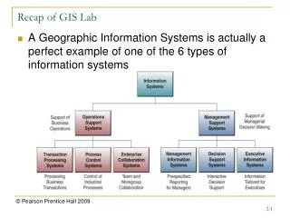
Objectives • Understanding GIS data models • Manipulating the data models supported in ArcGIS
Data Models • An abstraction of the objects in the real world • Points --> trees • Lines --> roads • Image --> elevation (Digital Elevation Model)
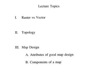
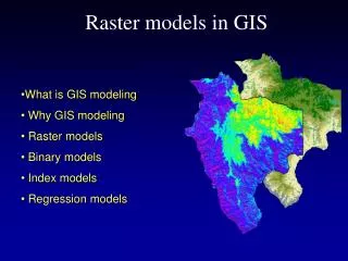
Data Models • Vector • Points, lines, areas • discrete, but can be used for continuous • Raster • Grid cells with one value per cell • Continuous • TIN (Triangulated Irregular Network ) • a series of triangles with each node having an xyz • representing surface
Data Structures vs. Data Models • Data model • set of constructs for describing and representing selected aspects of the real world in the computer. • Data structure • How the data model actually stored on computers • The same data model can be expressed in different data structures • E.g. both CAD data and ArcGIS Shapefile can represent the vector data model
Data models in ArcGIS • ArcGIS supports the three GIS data models (vector, raster, and TIN) • ArcGIS also provides three specific data models • Shapefile • Coverage • Geodatabase
Data models in ArcGIS • Shapefile • Vector model • A single geographic feature type (counties, roads, cities, etc.) • Does not have topology
Data models in ArcGIS • Coverage • Vector model • Contains multiple geographic feature types, and each type is a feature class (counties, roads, cities). Different feature classes share the same theme. • Have topology
Data models in ArcGIS • Geodatabase • Vector and Raster • Multiple feature classes • Feature datasets, relationship classes, topologies, networks, etc.
Data model conversion • ArcToolbox • Raster --> Polyline • Raster --> Polyline--> Coverage
To Hand in • Hand in through Gauchospace • The question sheet, with typed answers • One map of Santa Barbara roads and contours • Due: Next Wednesday (Feb. 1st)