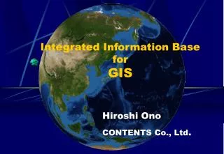
Integrated Information Base for GIS
50 likes | 162 Views
This presentation by Hiroshi Ono introduces the concept of Historical GIS and its significance in utilizing spatial-temporal information technology. The platform features 3D imagery from aerial and satellite photography and supports the incorporation of diverse data formats, such as HTML, still images, and motion pictures. We explore actual examples of Historical GIS applications in regions like Asuka village, Kyoto, and Tadami town in Okayama. Discover how historical maps and geographical information enhance our understanding of the past through innovative GIS solutions.

Integrated Information Base for GIS
E N D
Presentation Transcript
Integrated Information BaseforGIS Hiroshi Ono CONTENTS Co., Ltd.
Historical GIS-Use of Spatial-Temporal Information Technology- Historical GIS; integrated information base for spatial- temporal information (historical information, maps, geographical information, spatial information, etc.). Features; Platform is 3D images of air and satellite photograph. Incorporable every data(HTML, Still image, Motion picture,etc.) into the information infrastructure
Actual Examples of Historical GIS using Spatial Temporal Information Technology Ise Asuka-village Kyoto Tadami-town
Spatial Temporal GISandActual Examples Kyoto Okayama Castle town
ご清聴ありがとうございました。Thank you very much for your attention.


![Geographic Information System [GIS]](https://cdn2.slideserve.com/5315378/geographic-information-system-gis-dt.jpg)