Download
1 / 35
350 likes | 400 Views
Get updates on weather observations, meteorological information, and more from the Polarstern Project's online presentation in May 2012. Explore the vital role of weather forecasts and the experiences of scientists and technicians on board. Dive into detailed data on climate conditions and research activities during the expedition.

E N D
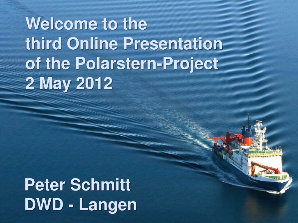
Welcome to the third Online Presentation of the Polarstern-Project 2 May 2012 Peter SchmittDWD - Langen
Agenda • Introduction of 3 importantpeople on board • Meteorologicalinformation 26-04 … 01.05. • Focus totheDust Storm
Karl Bumke: Chief Scientist from the Helmholtz-Center for Ocean Research in Kiel • Weather forecasts on board are veryimportant for planning the scientific work. The forecastsgiveus enough time for an alternative planning • Storms are the mostimpressiveweatherphenomona • Twice I saw a greenflash after sunset • Weekly Reports from Karl Bumkeabout workingandliving on board http://www.awi.de/en/infrastructure/ships/polarstern/weekly_reports/
Juliane Hempeltfrom DWD • Weather technician /-observer • Sheisresponsible forobservations, SYNOPRadiosoundings, TEMP • Sheis the first time onPolarstern • Juliane crosses the firsttime the equator … • „I‘mlookingforeward towave heights of morethan4 m.“ • Shemakesmostofthefotosforus.
RV Polarstern: 3 Data Pools • 10 minutesmeanvalues, automaticdatese.g. heigt, ceiling, pressure, precipitation, temperature, …datamanagementsystem „DAVIS-SHIP“ • Weather observationevery 3 hours (FM13 Synop) for GTS, manyobservationswitheyes, e.g. icecoverage • Radiosoundings: per day 1 or 2,in this cruise 1: everydayat 12 UTCMaximum heigt: 25 – 37 kmSometimes extra soundingswithsmallerballons for the briefing of helicopterpilots,mostly in theArcicandAntarctic. • .
Grafical exposure with the position of the measurements WindGlobal radiationPrecipitation Moisture,Temperature gVisibility CeilingWeather station Balloon hall Sea level Water temperature Wind
Max Millerfrom DWD • Meteorologist (forecaster) • First time on Polarstern2006 • On the first cruise he sawwave heights up to 15 m. • In the Arctic and Antarctiche is also an aviationforecaster for the helicopter. • The meteorologist is always on duty
Data path from Polarstern to EUMETRAIN Big E-Mail packet for many people AWI Training Center In Langen Fütterer, Fahrbach: Polarstern: Permanent Line from Polarstern to AWIin Bremerhaven. But the quality is not constant, because the vessel is in motion. InternetEUMETRAIN
Meteorological information from 26 April 20°N 01 May, 12 UTC equator 26 April, 12 UTC 26 April, 12 UTC: Polarstern is still sailing the southeast trade winds.Southeast 5 to 6 Bft. Good visibility, isolated showers, swell 2 to 2.5 m.
1-hourly Routine Synoptic ObservationsPolarstern (DBLK) 90° NE TradeWinds ITCZ SE TradeWinds
Vertical profile of the Trade wind inversion Please decode this cloud group in FM13 Synop (blue background) DBLK 26121 99050 50266 41598 21211 10275 20228 40127 52008 70300 82230 22282 04279 20402 310// 40703 =
Vertical profile of the Trade wind inversion Cloud amount: 2/8 Low Clouds: Cumulus mediocris or Cumulus congestusMedium Level Clouds: Altocumulus translucidus DBLK 26121 99050 50266 41598 21211 10275 20228 40127 52008 70300 82230 22282 04279 20402 310// 40703 =
Meteorological information from 27 to 28 April 20°N 01 May, 12 UTC 28 April, 12 UTC equator 27 April, 12 UTC 26 April, 12 UTC 27 April, 12 UTC: Polarstern is entering the inter tropical convergence zone.Southeast to east 4 to 5 Bft. Good visibility, reduced by showers or thunderstorms. Swell 1.5 to 2 m. 28 April, 12 UTC: Polarstern is crossing the inter tropical convergence zone and will approach the northeast trade wind zone. East to northeast around 4 Bft. Good visibility, reduced by some showers or thunderstorms. Swell around 1.5 m.
27-04-2012, 12 UTC, RGB Severe Convection, ASCAT What shows the yellow colour?a) big ice particle b) small ice particle c) cold temperature
27-04-2012, 12 UTC, RGB Severe Convection, ASCAT What shows the yellow colour?a) big ice particle b) small ice particle c) cold temperature
27-04-2012, 12 UTC, OSI-SAF: SST, Synop DBLK 27121 99018 50254 41598 21408 10278 20229 40118 52010 70200 82200 22283 04278 20402 312// 40803 =What is the measurement of water temperature on Polarstern?
27-04-2012, 12 UTC, OSI-SAF: SST, Synop DBLK 27121 99018 50254 41598 21408 10278 20229 40118 52010 70200 82200 22283 04278 20402 312// 40803 =What is the measurement of water temperature on Polarstern? 27,8°C
28-04-2012, 18 UTC, OSI-SAF: SST, See currents Canary Brazil Benguela
28-04-2012, 18 UTC 13 km
28-04-2012- no TS observed in the area of ITCZ- only during the night lightning
Meteorological information from29 April to 1 May 20°N 01 May, 12 UTC 30 April, 12 UTC 29 April, 12 UTC equator 29 April, 12 UTC: Polarstern is entering the northeast trade wind zone. Northeast to north 3, increasing 4 to 5 Bft. Good visibility, risk for isolated showers, swell around 1.5 m. 30 April, 12 UTC: Polarstern is sailing the northeast trade winds. Northeast to north 4 to 5, increasing 5 to 6 Bft. Temporarily hazy, swell around 2 m.
29-04-2012, 12 UTC Dewpoint Temperature [°C] DewpointDepression [K] Dust RGB 30.1-0.6 30.1-0.6 36.1-0.8 36.1-0.8 44.27.8 44.27.8 32.724.5 32.724.5 26.922.0 26.922.0
30-04-2012, 12 UTCDust RGB 3 dust areas in Africa(dust in the air)
30-04-2012, 12 UTC Dust in the air (pink colour), spreading fromSenegal/Guinea in westerly directions Dust RGB, 30-04-2012, 18 UTC Nat.Col.RGB, 30-04-2012, 18 UTC
Dust RGB, 30-04-2012, 03 UTC – 18 UTC 12 UTC 03 UTC 15 UTC 06 UTC 18 UTC 09 UTC
30-04-2012 The dust is falling out without shower,deposits on the staff
Dust RGB, 30-04 21 UTC – 01-05 12 UTC 06 UTC 21 UTC 09 UTC 00 UTC 03 UTC 12 UTC
Ask yourself: What means the red character? 01-05-2012 DBLK 01121 99124 70222 41/96 90210 10233 20189 40141 58001 70900 89/// 22282 04229 20301 335// 40904 =
Dust or sand storm 4 km visibility 01-05-2012 DBLK 01121 99124 70222 41/96 90210 10233 20189 40141 58001 70900 89/// 22282 04229 20301 335// 40904 =
ConceptualmodelofSaharan Air Layer (SAL) • 1500 – 6000 m with large amountsofmineraldust • Dry airand strong winds (10-25 m/s) • African Easterly Jet with wind speedsmaximizeatabout 650 hPa COMET
ConceptualmodelofSaharan Air Layer (SAL) • Most overthe Sahara Dessert duringlate spring, summer • Usuallyitmoves west overthetropicalAtlantic • The imageshows a winterduststorm, moving west fromAfrica
Thank you Juliane Hempelt and Max Miller for more than 60 E-Mails and information. Have a good remaining trip to Bremerhaven I hope we meet us on the virtualtrip from Chile to Germany!http://eumetrain.org Thank you! Peter Schmitt Peter Schmitt, DWD-Langen