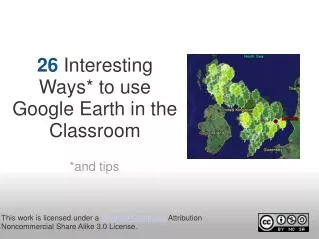
第2回 討論: Google Earth は何を意味するか
第2回 討論: Google Earth は何を意味するか. インターネット上の地理情報サービス. Mapfan : www.mapfan.com Mapion: www.mapion.co.jp Zenrin: www.zenrin.co.jp GLCF: Global Land Cover Facility USGS: http://www.usgs.gov 国土地理院地図閲覧サービス 国土地理院航空写真閲覧サービス 国土交通省ウェブマッピングシステム. Google Earth の登場( 2005 年 6 月).

第2回 討論: Google Earth は何を意味するか
E N D
Presentation Transcript
インターネット上の地理情報サービス • Mapfan:www.mapfan.com • Mapion: www.mapion.co.jp • Zenrin: www.zenrin.co.jp • GLCF: Global Land Cover Facility • USGS: http://www.usgs.gov • 国土地理院地図閲覧サービス • 国土地理院航空写真閲覧サービス • 国土交通省ウェブマッピングシステム
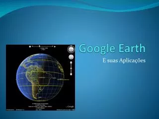
Google Earthの登場(2005年6月) • Google Earthの元はkeyhole • Google Earthの機能 • 位置 • レイヤ • アプリケーション • Google Earthのコンテンツ • 衛星画像 • 位置情報 • 地図情報 • 活動情報 • Google EarthをエンジンとするGoogleファミリー • Google Maps • Google Local
Google Earthは何を意味するか • 地理情報収集 • 情報セキュリティ • 位置情報サービス • デジタルアース • デジタルローカル
Google Earthでショックを受ける業界 • 例をあげてください。
あなたならGoogle Earthで何をしたいか • 事例を提案してください。
第2回は、Google Earthをデモしながら、地理情報の性質、地理情報サービス、地理情報ビジネスについて、討論を進めます。スライドはこれ以上ありません。