Download
1 / 18
230 likes | 558 Views
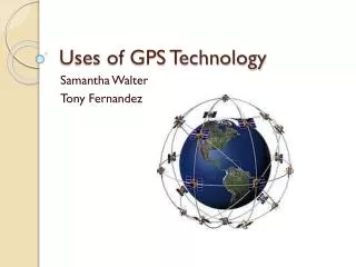
Uses of GPS Technology. Samantha Walter Tony Fernandez. What is GPS?.

E N D
Uses of GPS Technology Samantha Walter Tony Fernandez
What is GPS? • The Global Positioning System (GPS) is a U.S.-owned utility that provides users with positioning, navigation, and timing (PNT) services. This system consists of three segments: the space segment, the control segment, and the user segment. • http://www.youtube.com/watch?v=30KfPtHec4s (2:00)
Space Segment • The GPS space segment consists of a constellation of satellites transmitting radio signals to users. The Air Force manages the constellation to ensure the availability of at least 24 GPS satellites, 95% of the time.
Control Segment • The GPS control segment consists of a global network of ground facilities that track the GPS satellites, monitor their transmissions, perform analyses, and send commands and data to the constellation.
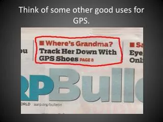
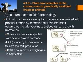
User Segment • The free, open, and dependable nature of GPS has led to the development of hundreds of applications affecting every aspect of modern life. GPS technology is now in everything from cell phones and wristwatches to bulldozers, shipping containers, and ATM's.
History of GPS • GPS technology was made possible by a combination of scientific and engineering advances, particularly development of the world's most accurate timepieces: atomic clocks that are precise to within a billionth of a second.
Soviet Union launched Sputnik on October 4, 1957, it was recognized that this "artificial star" could be used as a navigational tool. • Positions on the ground could be determined by homing in on the signals broadcast by satellites.
In the years that followed, the U.S. Navy experimented with a series of satellite navigation systems • In 1965 the Transit system was developed to meet the navigational needs of submarines
In 1973, the Department of Defense was looking for a foolproof method of satellite navigation. They came up with the concept of GPS on the basis of the department's experience with all its satellite predecessors. • The first operational GPS satellite was launched in 1978, and the system reached full 24-satellite capability in 1993. • http://www.youtube.com/watch?v=EOwMkFsJXRI (2:00)
Since then, GPS technology has moved into the civilian sector. • In just a few short years, applications for GPS already have become almost limitless
Mapping/Surveying • The surveying and mapping community was one of the first to take advantage of GPS because it dramatically increased productivity and resulted in more accurate and reliable data. • GPS supports the accurate mapping and modeling of the physical world — from mountains and rivers to streets and buildings to utility lines and other resources.
Features measured with GPS can be displayed on maps and in geographic information systems (GIS) that store, manipulate, and display geographically referenced data. • http://www.youtube.com/watch?v=M7tK9CjRmIo&list=FLdShBEYmIgoDn34bi1vVA9w&index=1&feature=plpp_video (6:46)
GPS surveying is not bound by constraints such as line-of-sight visibility between survey stations.
Land surveyors and mappers can carry GPS systems in backpacks or mount them on vehicles to allow rapid, accurate data collection. • http://www.youtube.com/watch?v=WSOXEBAtRec (5:43)
GPS Jamming • radio frequency transmitters that intentionally block, jam, or interfere with lawful communications, such as cell phone calls, text messages, GPS systems, and Wi-Fi networks.
GPS Jamming • Jamming cell phones and GPS equipment is against the law • it is a violation of federal law to use a cell jammer or similar devices that intentionally block, jam, or interfere with authorized radio communications such as cell phones, police radar, GPS, and Wi-Fi.
GPS Jamming • A single violation of the jamming prohibition can result in tens of thousands of dollars in monetary penalties, seizure of the illegal device, and imprisonment.
References "Surveying & Mapping." GPS.gov: Survey & Mapping Applications. National Coordination Office for Space-Based Positioning, Navigation, and Timing, 24 Apr. 2012. Web. 15 Aug. 2012. <http://www.gps.gov/applications/survey/>. Taubes, Gary. "GPS: The Role of Atomic Clocks." Beyond Discovery. National Academy of Sciences, n.d. Web. 15 Aug. 2012. <http://www.beyonddiscovery.org/content/view.page.asp?I=1275>.