Download
1 / 2
20 likes | 146 Views
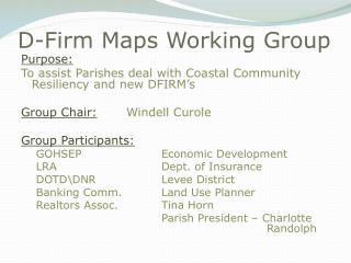
The D-Firm Maps Working Group aims to assist parishes in addressing coastal community resiliency challenges through the implementation of new Digital Flood Insurance Rate Maps (DFIRMs). Chaired by Windell Curole, the group includes participants from various organizations such as GOHSEP, Economic Development, LRA, and the Department of Insurance, among others. Additionally, the IPET Standards Working Group, led by Jerome Zeringue, focuses on reviewing USACE Design and Construction Standards with key members like Bob Turner and Larry Ardoin involved in discussions.

E N D
D-Firm Maps Working Group Purpose: To assist Parishes deal with Coastal Community Resiliency and new DFIRM’s Group Chair:WindellCurole Group Participants: GOHSEP Economic Development LRA Dept. of Insurance DOTD\DNR Levee District Banking Comm. Land Use Planner Realtors Assoc. Tina Horn Parish President – Charlotte Randolph
IPET Standards Working Group – Steering Committee • Purpose:Review and discussion of USACE Design and Construction Standards • Group Chair: Jerome Zeringue • Steering Committee Participants • Bob Turner WindellCurole • Larry Ardoin Mark Morgan • Steve Wilson • Jerry Gillian