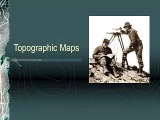
Topographic instruments
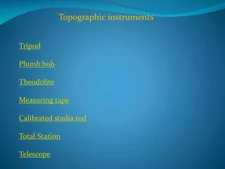
Topographic instruments. Tripod Plumb bob Theodolite Measuring tape Calibrated stadia rod Total Station Telescope. TRIPOD. The tripod is an accessory that support a topographic instrument , in particular theodolite and total station.

Topographic instruments
E N D
Presentation Transcript
Topographicinstruments Tripod Plumb bob Theodolite Measuringtape Calibrated stadia rod Total Station Telescope
TRIPOD The tripodis an accessorythatsupport a topographicinstrument, in particulartheodolite and total station. Itisformed by threetelescopiclegsthatraise the instrument by the floor level. It’sused for give at the instrument a horizontal surface on which laid.
PLUMB BOB In antiquity to trace a vertical line wereused the plumb bob, buttodaythisis an obsolete instrument. Itisformed by a line with a mass on the termination.
THEODOLITE Thisoptical-mechanicaltopographicinstrumentisformed by a telescope, twograduatedcircle, alidade, twotypesof bubblelevel, threelevelingscrews and a lent at 45° thatgiveus a 90° view on the floorthatreplaces the antiquatedplumb bob. The main task of thisinstrumentistocalculatethe vertical and orizzontalangles.
The telescopeisformed by a system of lentsand itisusedtomagnifya point at a certaindistance. In the instrumentthereis a viewfinderthaisused for direct the crosshair at the center of the pointthatwewant collimate. TELESCOPE
LEVEL • There are twotypes of bubble level: • - Sferic level • - Plate level
MEASURING TAPE Tocalculate a distance, in associationwith the theodoliteweuse the measuringtape. Itisformedby a calibratedtape.
CALIBRATED STADIA ROD The calibrated stadia rodisaninstrumentwith a sensibility at the tenthof a millimeterthatisusedfordetermine the heightof a point.
TOTAL STATION Total station is an electronic theodolitethat can alsocalculatethe distancebetween the instrument and a selectedpoint. New generation of thisinstrument can be incorporated with a GPS.
GPS GPS isanacronymof Global Position System and have a lot of applications. In associationwhiththe electronic total station itis a technique for determining position and elevationon earth. Itusessatellitesplacedintoorbit to triangolate the point.