Download
1 / 11
120 likes | 175 Views
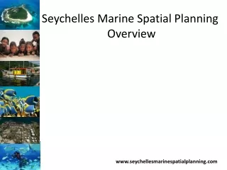
The Seychelles Marine Spatial Planning initiative aims to develop an integrated multi-use marine zoning and climate change adaptation plan to optimize sustainable use of marine resources while enhancing social, cultural, and economic well-being. With adaptive, ecosystem-based, and participatory principles, the plan covers biodiversity, tourism, fisheries, and more. Outputs include draft zoning maps, Decision Support Tools, and manuals to guide implementation for a sustainable Blue Economy vision.

E N D
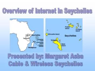
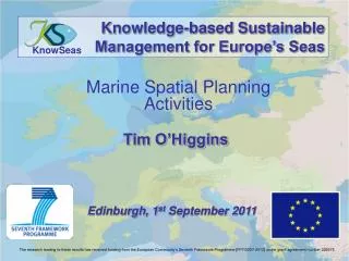
Seychelles Marine Spatial Planning Overview www.seychellesmarinespatialplanning.com
Overall Goal/Purpose • Provide a basis for developing and implementing an integrated multi-use marine zoning and climate change adaptation plan to: • optimise the sustainable use and effective management of the Seychelles marine environment while • ensuring and improving the social, cultural and economic wellbeing of its people.
Guiding Principles • Adaptive • Integrated • Ecosystem-based • Public Trust • Participatory • Precautionary • Transparent • Knowledge-based
Planning Scope Thematic sectors/uses • Biodiversity conservation • Marine transportation • Petroleum (and mining and aggregate) extraction • Fisheries • Tourism • Cultural heritage • Renewable energy
Outputs • The blueprint : draft multi-use zoning design scenarios (maps) and associated management strategies • Customized Decision Support Tools (DSTs) • User Manual/’How To’ document(s) to demonstrate the utility of spatial interactive tools developed • Final report
Integrated Ocean Management • Food Security, Energy Security, Revenue Security • Ensuring a sustainable Blue Economy