1 / 51

200

Earth. Lat./Long. Mapping. Calculation. 100. 100. 100. 100. 200. 200. 200. 200. 300. 300. 300. 300. 400. 400. 400. 400. 500. 500. 500. 500. What is the true shape of the Earth?. Oblate Spheriod (flattened at poles, bulging in the middle).

bgoodwin
Download Presentation

200

An Image/Link below is provided (as is) to download presentation Download Policy: Content on the Website is provided to you AS IS for your information and personal use and may not be sold / licensed / shared on other websites without getting consent from its author. Content is provided to you AS IS for your information and personal use only. Download presentation by click this link. While downloading, if for some reason you are not able to download a presentation, the publisher may have deleted the file from their server. During download, if you can't get a presentation, the file might be deleted by the publisher.

E N D

Presentation Transcript


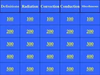
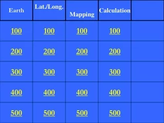
  1. Earth Lat./Long. Mapping Calculation 100 100 100 100 200 200 200 200 300 300 300 300 400 400 400 400 500 500 500 500

  2. What is the true shape of the Earth?

  3. Oblate Spheriod (flattened at poles, bulging in the middle)

  4. Name the three spheres of the Earth and what they are.

  5. Atmosphere (air), hydrosphere (water), lithosphere (crust)

  6. What three things increase as I travel farther into the Earth

  7. Density, pressure and temperature

  8. Name the two types of crust and what they are made of

  9. Continental – graniteOceanic - basalt

  10. Which part of the Earth’s interior is thought to be liquid and why?

  11. Outer core – seismic waves cannot pass through it

  12. Give the latitude and longitude to the nearest minute of Old Forge.

  13. 43 40’ N, 74 55’ W

  14. Name the reference lines for latitude and longitude and give their degrees.

  15. Equator -0Prime Meridian - 0

  16. What is the latitude and longitude of the Hawaii Hot Spot to the nearest degree

  17. 21 N 157 W

  18. What would be the angle to Polaris from the North Pole?

  19. 90 degrees

  20. What is the rate of the sun’s movement?

  21. 15 degrees of longitude per hour

  22. What are the isolines on a topographic map called?

  23. Contour lines

  24. What is another term for gradient?

  25. slope

  26. Give three ways to tell direction of stream flow

  27. High elevation to low, small body to large, opposite the V in the contour

  28. What is the highest possible elevation of a hill with the closest contour of 280 m and an interval of 20m.

  29. 299 m

  30. Name two other examples of isolines

  31. Isobars, isotherms, isohyets

  32. Calculate the rate of temperature increase for a room if it goes from 40 degrees F to 65 degrees F in 5 minutes

  33. 5.0 degrees F/min

  34. Calculate the gradient if a landscape decreases from 700 meters to 340 meters over a distance of 25 kilometers.

  35. 14.4 m/km

  36. Use eratosthenes method to determine the circumference if the angle is 45 degrees and the distance is 4 cm

  37. 32.0 cm

  38. If I climb 125 feet of elevation over 6 miles. What is the gradient?

  39. 20.8 ft/mile

  40. If the gradient is 45 m/km, and the starting elevation is 750 meters, what is the ending elevation if the distance is 1 km.

  41. 705 m

More Related