Download
1 / 18
190 likes | 288 Views
What is GIS? Simple/Fun/Easy: Module 2. Created by: Scott Kelly 2010. The Payson Ducks!. View Tools. Drafting Tools. Additional Tools. Spatial Orientation. Menus. Map Search. Pan. Zoom. Places (from Search) Or Layers Uploaded. Google Data Layers. Imagery Source.

E N D
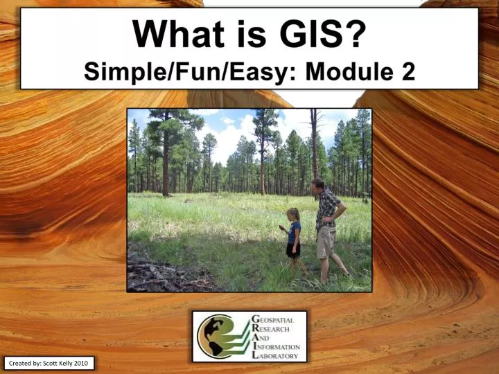
What is GIS? Simple/Fun/Easy: Module 2 Created by: Scott Kelly 2010
The Payson Ducks!
View Tools Drafting Tools Additional Tools Spatial Orientation Menus Map Search Pan Zoom Places (from Search) Or Layers Uploaded Google Data Layers Imagery Source Coordinates & Elevation Altitude
The lake in Green Valley Park Click on these icons for pictures people have posted These are the coordinates of where ever your cursor is on the map
1A Marking the first duck sighting on our map image Group | Dis To Nx | Quack | 1A 50 Feet Yes First week, Third group. Not weekly congruent.
Change each file extension to .txt Keep the Excel file(s) Save each spreadsheet as a .csv comma delimited. If you have Google Earth open DNR will know it
The Shape2Earth and CSV to Shapefile Converter menus show up after you activate the plug-ins Drops down with the available plug-ins The sample USA project
The shapefiles will show up as three different layers on your map. If you highlight one and press the attribute table editor you can see all our data fields are in the shapefile.
Projections tell the computer where in the world those dots are Click here to convert the shapfile to KML
Click here to turn off the side bar for a better presentation
The work flow of the app ↓ ↓ ↓ ↓ ↓ ↓
The app result Move these to here to make them permanent
Appendix Graphics, Presentation, GIS, and Remote Sensing Software